Category: Hiking
-
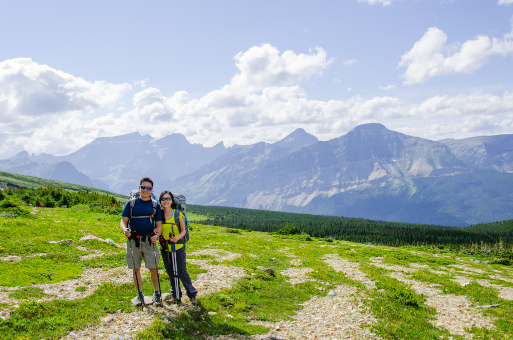
Over Redgap Pass
It is sometime in the early morning when I awaken. Peering outside, I see bright stars. The clouds have rolled back, and I figure it is safe to open up the rain fly. My shoes are still wet, but everything else stayed dry through the night of rain. I would later find out that it…
-
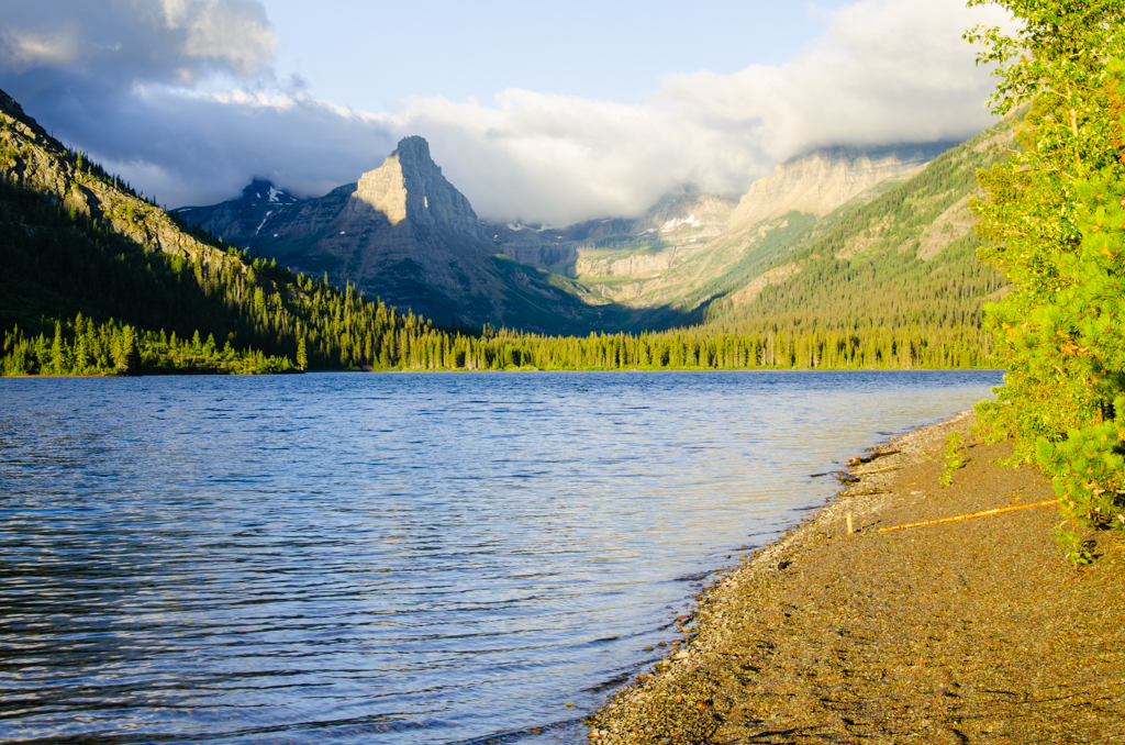
Into Belly River Basin
I wake up to condensation along the head of the tent. The foot is also damp. With our fly completely closed and the temperature dipping to dew point, beads had formed along parts of the tent. I reach for the towel and mop up most of it. Our clothes on the line are dry though.
-
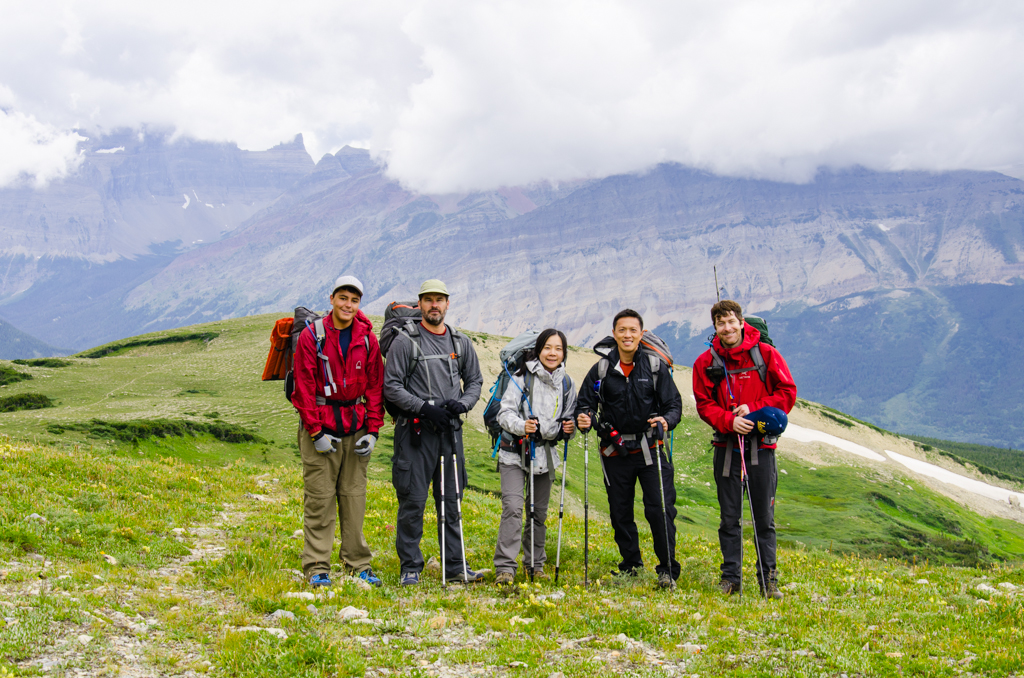
Glacier, Gable Pass
Into the Woods. That’s what this first stretch of trail reminds me of, and it reminds Yan of that same movie we watched in the plane while on our honeymoon. Lee Ridge Trailhead begins as a small inconspicuous orange flag trail marker a half mile south of Canada. I would have missed it had it…
-
Getting Ready for Glacier National Park
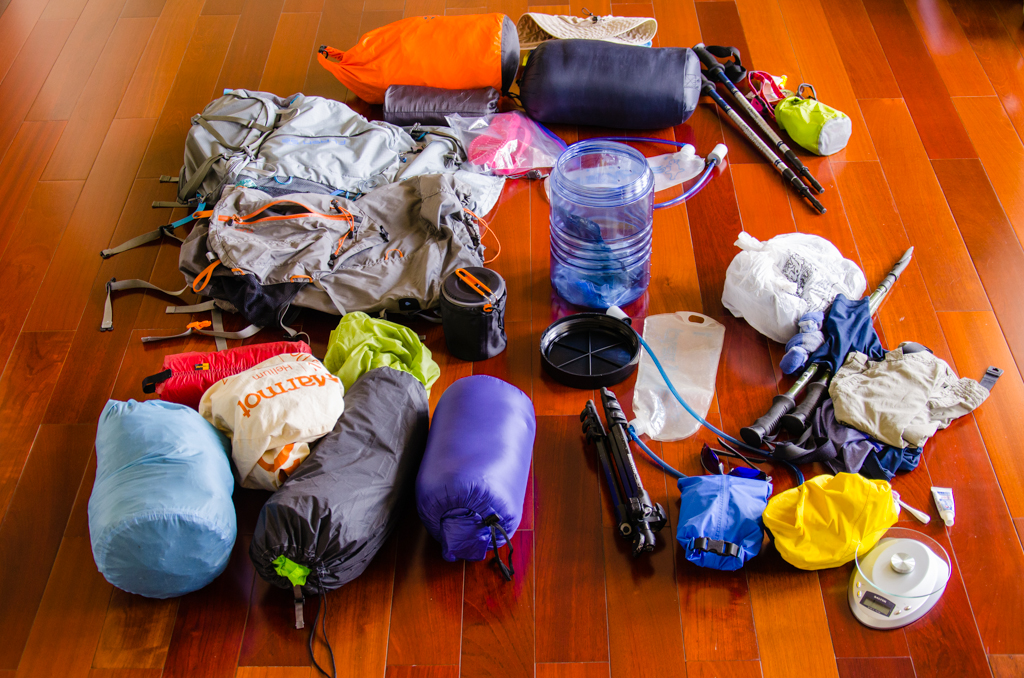
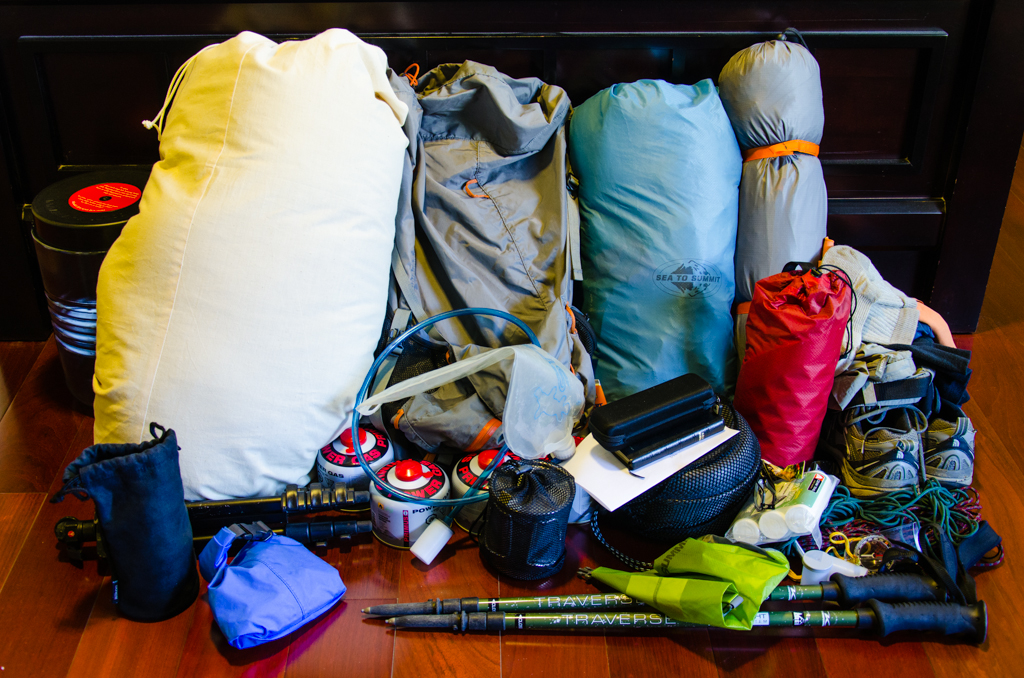
Backpacking gear normally lasts for years—the same sleeping bag, clothes, stove, backpack, and all the little miscellaneous stuff. With much of the gear list the same, packing for this trip was relatively easy. I had pulled out my list, updated it with the new tent and cook set, and checked everything off. Yan just followed…
-
Mount Washington
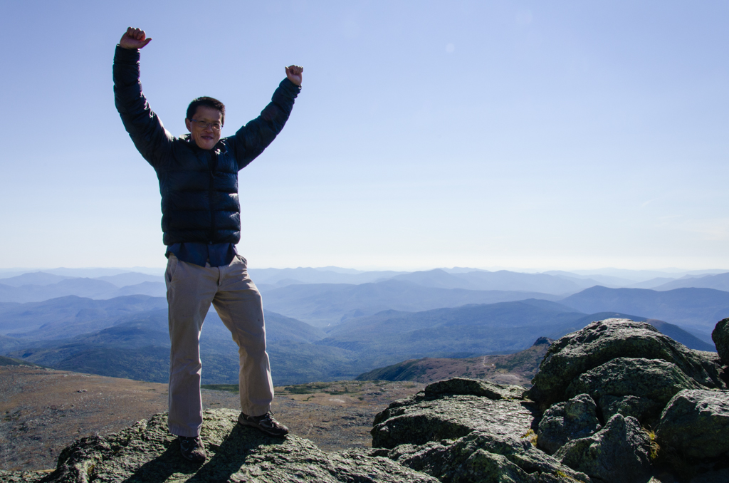
This has been a phenomenal hiking season. Starting with summiting one of the most prominent mountains of Southern California—Mt. San Jacinto, the peakbagging list includes Mauna Kea, Mount Whitney, and now Mount Washington. I’ve read about Washington many times. Visiting Boston for the American Society for Surgery of the Hand meeting, I knew I had…
-
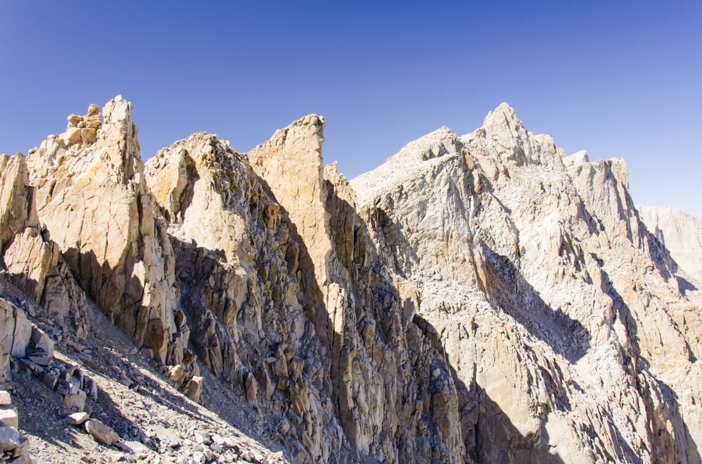
High Sierra Trail: Day 8
Hikers bidding for the summit trudge by our campsite. Even though it’s barely light outside, I see their headlamps and hear their voices. Then, I hear Mickey. He and Wayne are off early as well. They are going to hike down to Whitney Portal first, where they will unload and clean up, thus avoiding the…
-
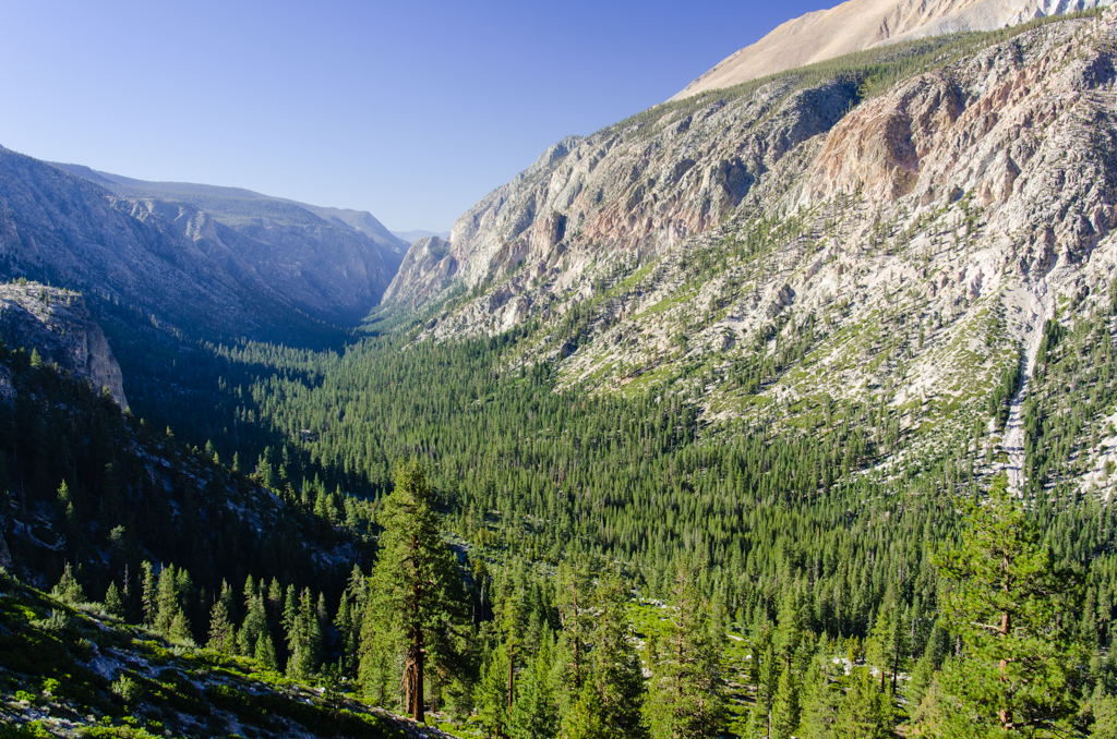
High Sierra Trail: Day 7
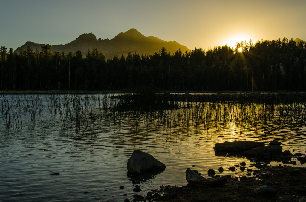
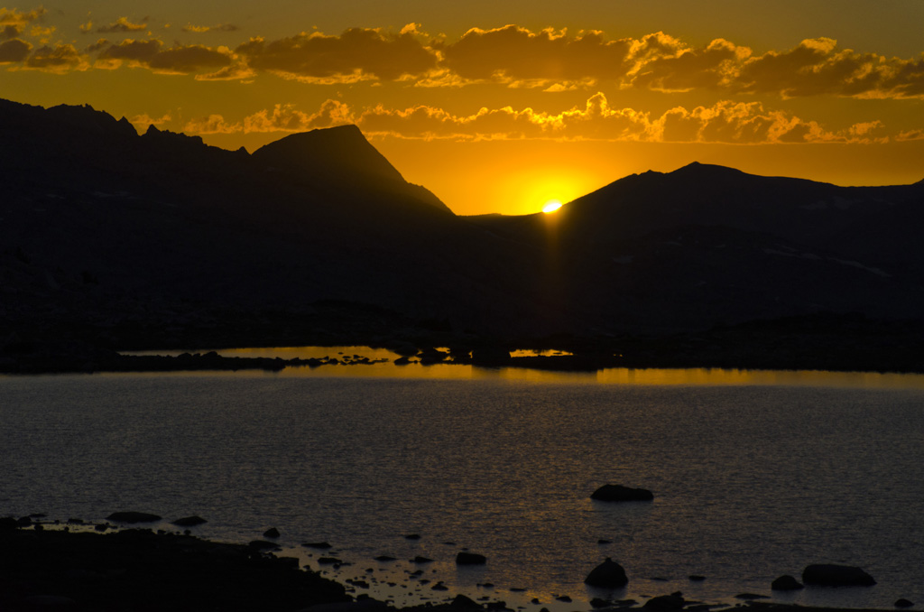
The alpenglow foreshadows the glorious day this will be. Hovering above the Great Western Divide, just before sunrise, the band of orange sky washes the entire landscape in a warm hue, in absolute contrast to the nippy cold air. The color of the meadow’s grass looks a bit strange. Of my group, I’m the first…
-
High Sierra Trail: Day 6
Like the other mornings, the routine is pretty much the same—hot breakfast, clean up, pack, and head out. We quickly gain elevation on this climb out of the Upper Kern Canyon. Before long, we are looking back down the canyon that is open to the clear blue sky. Then, we join Wallace Creek and hike…
-
High Sierra Trail: Day 5
We’ve been looking forward to this mid-trip breakfast. Even though the powdered eggs turn rubbery when overcooked, the vegetarian bacon bits add enough flavor to the dish of scrambled eggs and hash browns. The little packets of ketchup make all the difference. Along with two rounds of French press coffee, this turns out to be…
-
High Sierra Trail: Day 4
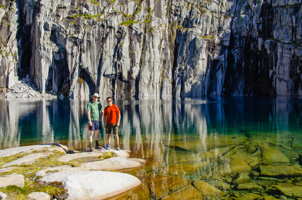
I’m the first one up on this short rest day. The sky is clear, and I emerge from my tent in time to catch the first light on the distant mountains, painting the tops a fiery orange. Moraine Lake is a perfect mirror. I step onto the lakeshore to take pictures, tiptoeing between bear tracks…
-
High Sierra Trail: Day 3
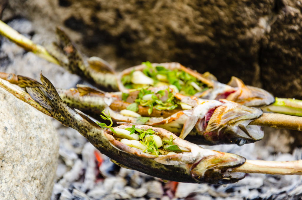
It’s a lazy morning. We’ve had a tough second day, and to reward ourselves, we decide to not rush it. Mickey had slept under the stars, and that must have been beautiful. Wayne, seated on a smooth boulder, reads his devotional. I take pictures of the stark above-treeline views. Mark pulls out his fishing rod,…
-
High Sierra Trail: Day 2
This would be our hardest day, stumbling into camp around sunset, completely exhausted. But, the start of the day is great. We set off early, climbing through thick forest along the gentle trail covered with soft forest litter. Soon, we arrive at Bearpaw Meadow. The luxury of staying there for $350 per night doesn’t seem…
-
High Sierra Trail: Day 1
We’re off! Setting out from Crescent Meadow, the trail climbs a gentle knoll through carpets of fern fronds shaded under giant sequoia stands. After about a mile, we emerge from the forest and hike along the open slopes, passing Eagle View Overlook. Across the valley, Cathedral Rocks provide a steady landmark throughout most of the…
-
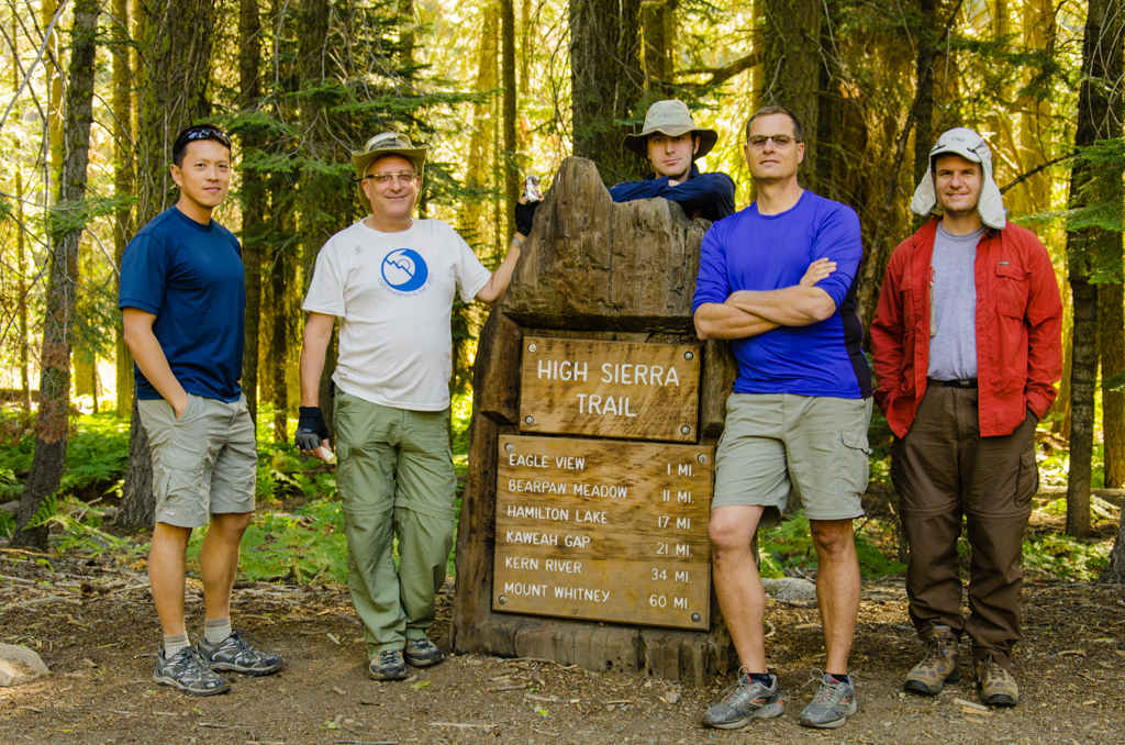
High Sierra Trail
It’s all about the luxury items. The scale is actually quite ruthless, and ever since Brad convinced me to try using it before our trip to Rainier, I’ve been letting the scale make most decisions. The pack weighs 1191 g, the sleeping bag 1038 g; and the second shirt 156 g. In total, my pack’s…
-
Mauna Kea
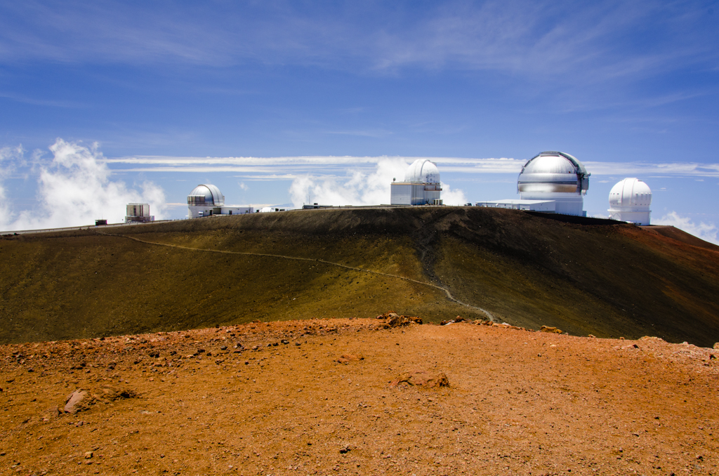
We could have just driven up there, against the car rental policy. I didn’t actually read the verbiage, but according to a lot of websites, most rental car companies prohibit driving up the road from the Mauna Kea Visitor Information Station to the top. So, we decided to hike it. Joining me are my senior…
-
Mt. San Jacinto Peak

This trip was to realize what was left unaccomplished last time with the Orthopaedic Surgery Interest Group (OSIG). The goal, for those of us who are struck with summit fever at times, was to stand on Mt. San Jacinto’s peak. Andrew, Co-President of OSIG, had sent out the notices weeks before, and the original student…
-
Marion Mountain Trailhead to Little Round Valley
We had hopes of making it to the summit. Jackson and Corey had planned this trip for the Orthopaedic Surgery Interest Group weeks ago, but today, thunderstorms and lightning threatened the exposed peak. We turned around at Little Round Valley, which was just a little more than a mile from the top. A small group…
-
Mono Basin and Little Lakes Valley

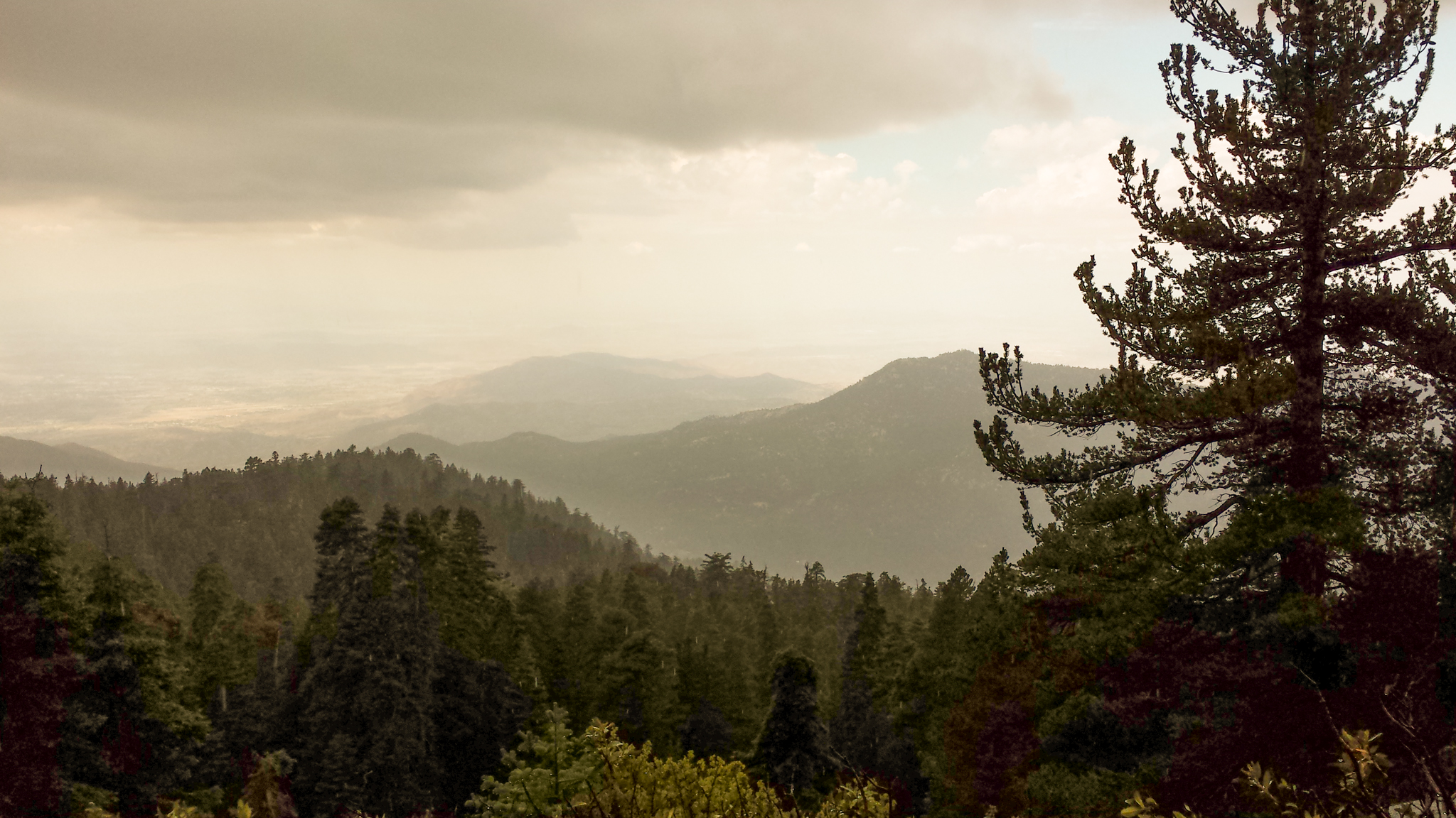
The gentle drizzle continues for the whole night, and by the next morning, everything outside the tent is completely soaked. We organize all of the food according to the grid, and then we pack up and set out toward Mono Pass. Cloud cover cools our climb above treeline. Right at the Pass, we stop for…
-
Mount Baldy Peak
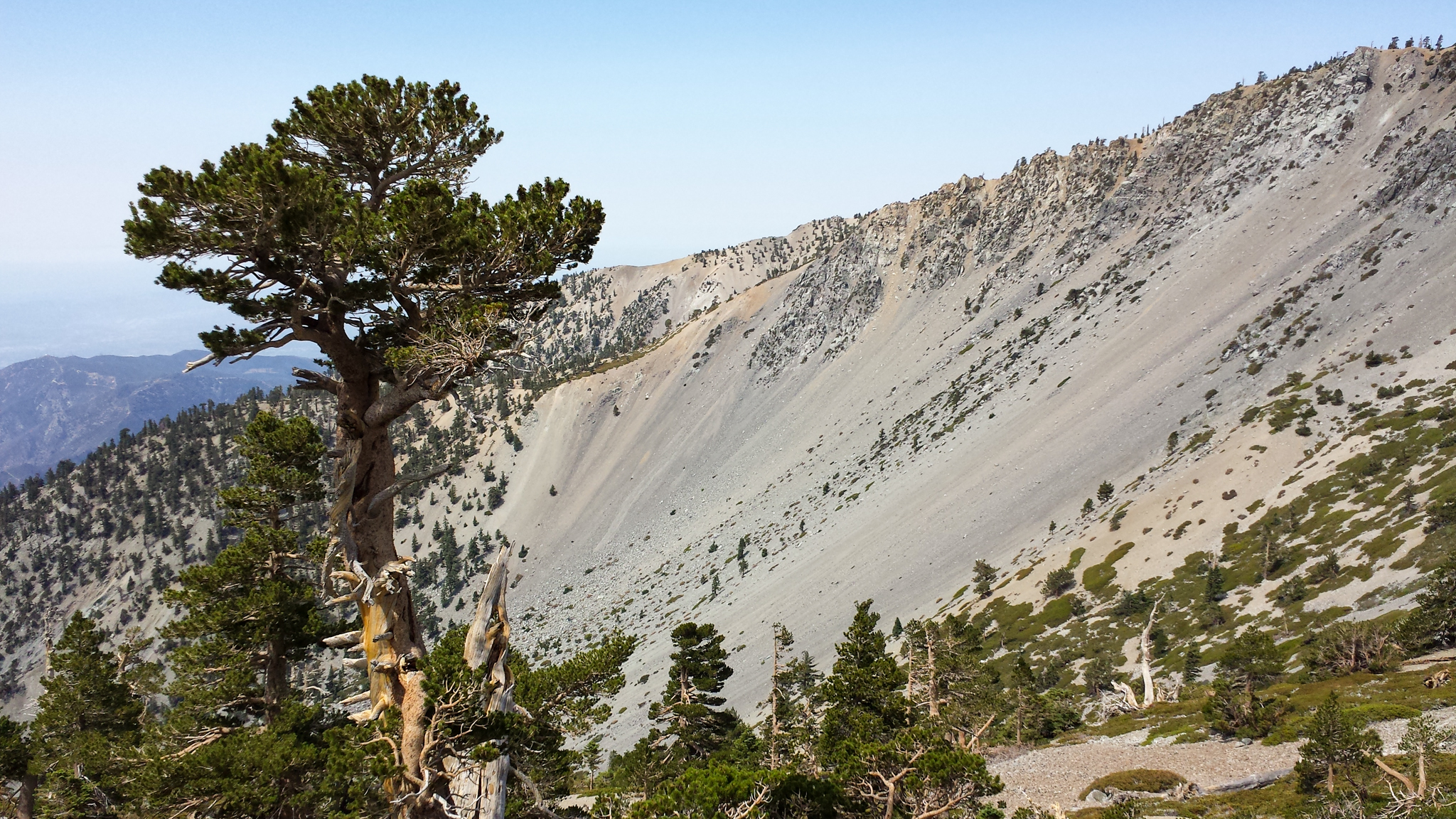
We left Loma Linda a little after 5:00 am. By 6:20, we were on the trail, ascending up the Baldy Bowl Trail, otherwise known as the Ski Hut Trail. At the Hut, we have breakfast over scenic views. The mileage varies, but on one report, it is 4.2 miles from the Manker Flat parking lot…
-
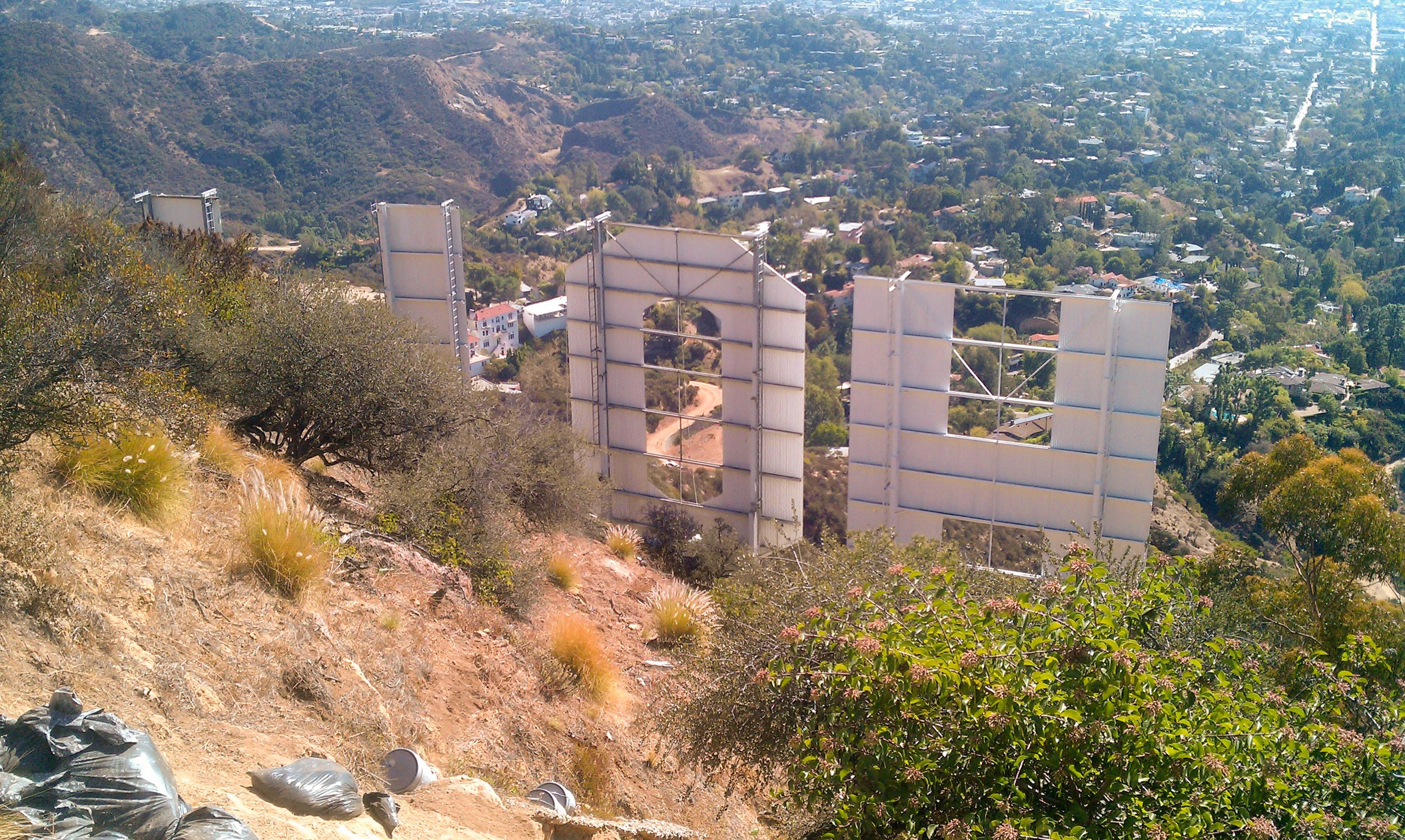
Hollywood Sign
The hike to the Hollywood Sign started at the end of Beachwood Drive, just by Sunset Ranch. The horses from the ranch dusted up the first part of the trail—not just from hoofs and horseshoes. After the fork to the left, it got much better. The midday sun was beating down pretty hard. Just before…
-
Touring the San Andreas Fault
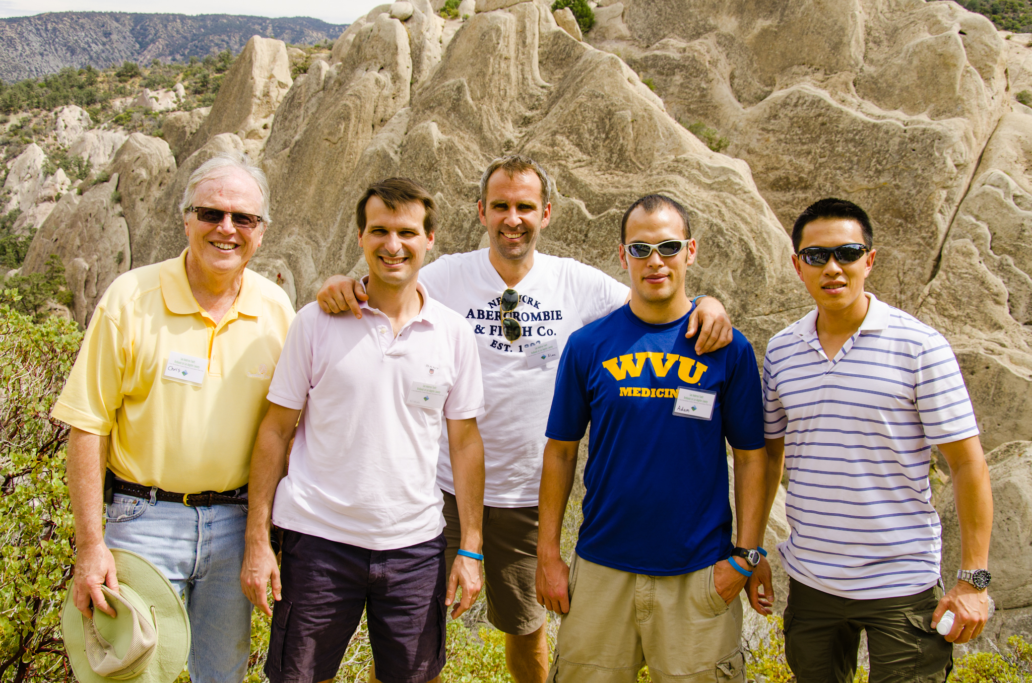
We’re having Alex and Nicolas visit from Europe as part the American Shoulder and Elbow Surgeons’ traveling fellowship. Chris arranged for us to take a tour of the San Andreas Fault, sponsored by the San Bernardino County Museum and led by Kathleen Springer. Our first stop took us by Lost Lake off of the Cajon…
-
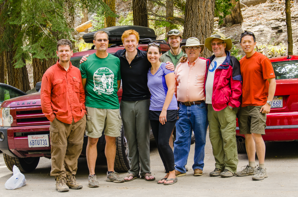
San Bernardino Peak
It started from a Facebook invitation, where I basically invited everyone who I thought would be interested in going. We all met in the Allen Way cul-de-sac just before 6:00 this morning and drove to the parking lot. There were orthopaedic residents, Ben, Mark with Sarah, and Lucas; medical students, Chris, Andrew, Charlie, Bjorn, and…
-
South Lake to North Lake
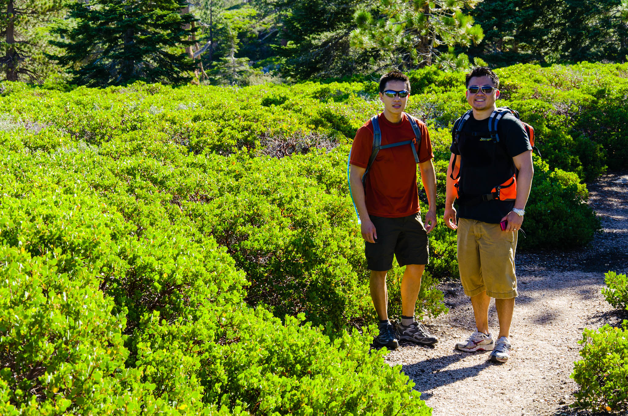
The trip to the Eastern Sierras was nothing short of epic. Here a brief travelogue of the hike from South Lake to North Lake through Dusy Basin, Evolution Basin, Evolution Valley, and Piute Canyon. We traversed over 55 miles, hiking over three mountain passes—Bishop, Muir, and Piute Passes—with nearly 10,000 ft elevation gain and loss,…
-
South Lake to North Lake: Day 6
September 5 We had gone to bed when it was 40 degrees outside, and this morning, our breaths had condensed and froze to the tent wall. I am scraping ice off the silnylon using my towel. Outside, everything is frozen: my water container, my shoes, the tent. The first thing I do is to heat…
-
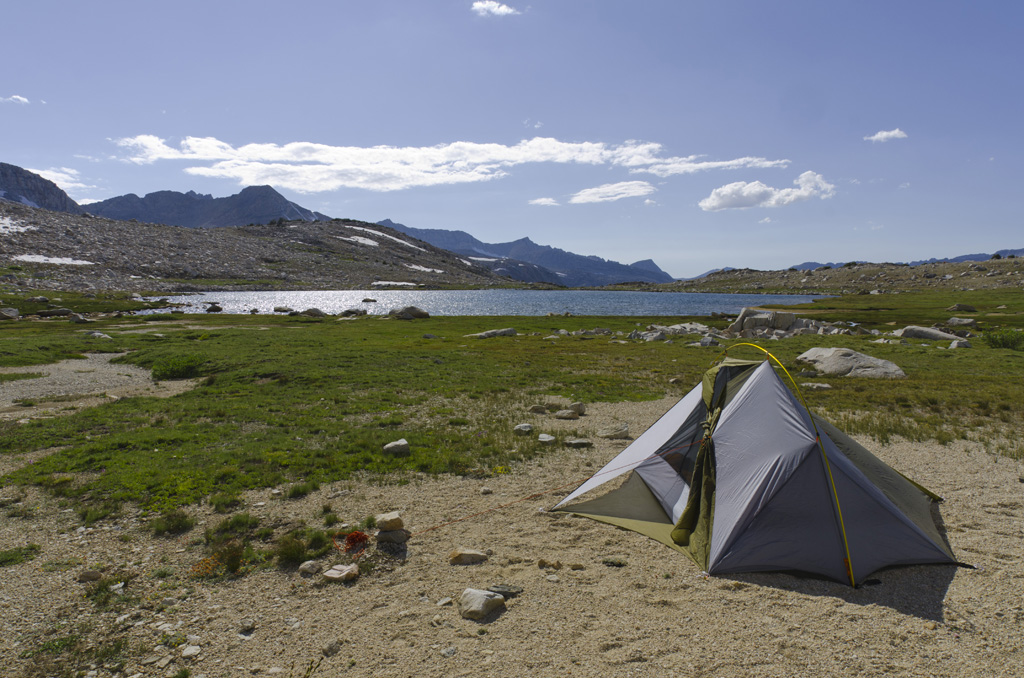
South Lake to North Lake: Day 5
September 4 This entire day will be all about climbing. It’s all uphill. After coffee and the usual breakfast, I take a few more pictures of the surrounding beauty. Then, we head up the trail toward Piute Pass. Brad and I are both glad that we had pushed a little further the day before. Our…
-
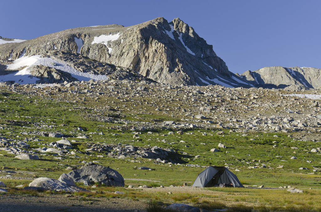
South Lake to North Lake: Day 4
September 3 We both slept very well. The night felt warmer, and we had very little tent condensation. Brad checks his thermometer, which reads 30 degrees Fahrenheit. It feels warmer. Anyways, I go on a private walk back along the creek, taking pictures along the way. I find an interesting tree whose bark had split…