Category: Hiking
-
South Lake to North Lake: Day 3
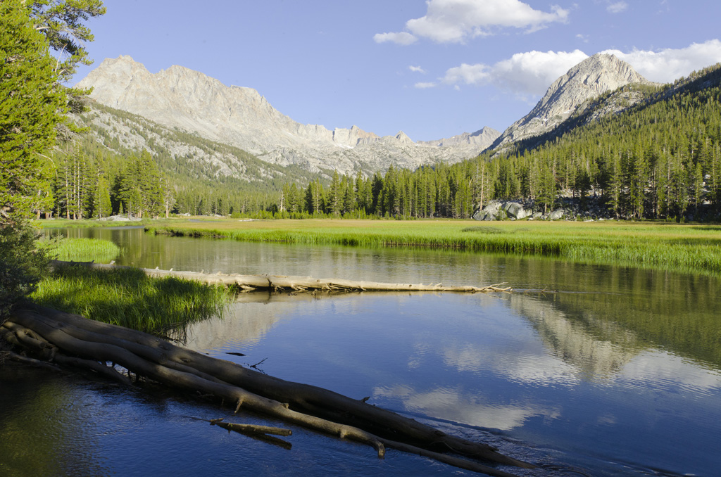
September 2 This day would be the longest. I wake up to a beautiful morning. The air is crisp, the mosquitoes are gone, and my tent held up to the wind. I had guyed out Brad’s side of the tent to give more lateral headroom to the A-frame profile, and he says that it’s better.…
-
South Lake to North Lake: Day 2
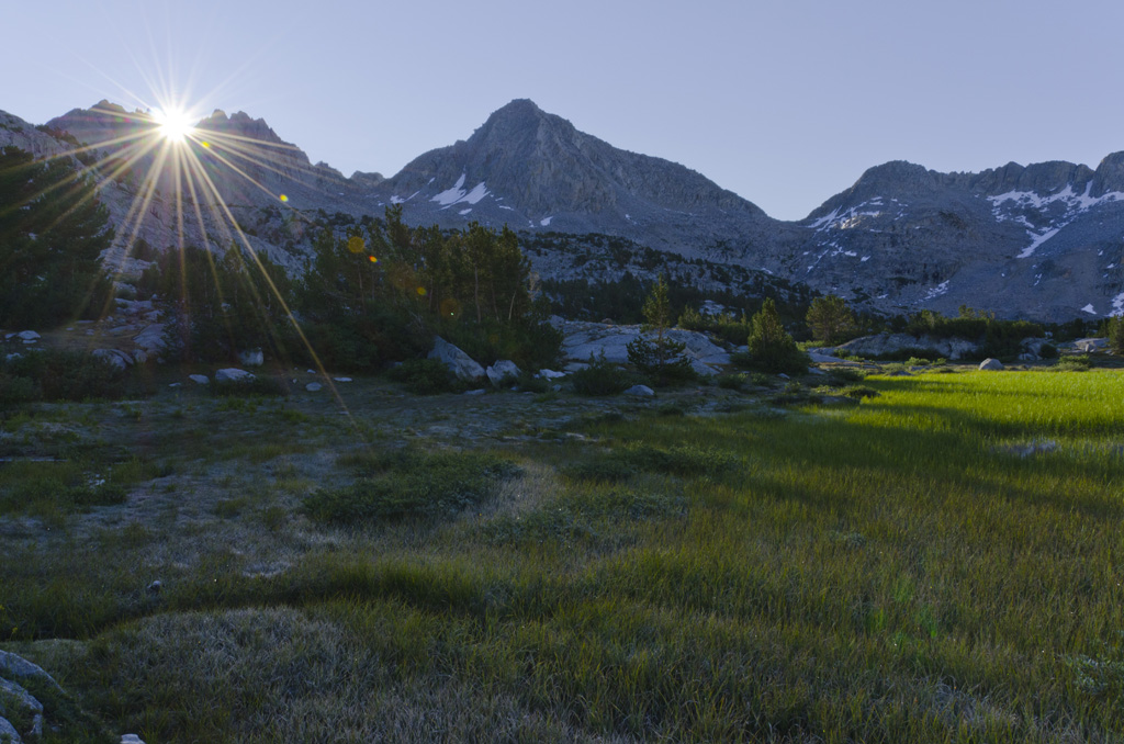
September 1 A dusting of frost covers nearly everything. I first notice this on the backpacks just outside the tent. My towel is frozen stiff. There is bad condensation inside the tent because it’s so cold outside. The cure, of course, is a nice helping of hot coffee. Starbucks Via. Being in charge of the…
-
South Lake to North Lake: Day 1
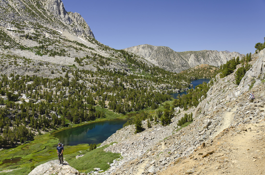
August 31 The noontime sun beats down by the time we arrive at the trailhead. The first part of the trip takes us along the South Fork of Bishop Creek. Before reaching Long Lake, we pass a newlywed couple on their honeymoon, who are planning to spend their first night at Saddlerock Lake. We decide…
-
South Lake to North Lake: Pretrip

On and before August 31 The sliding glass door at Clark’s once again opens and closes. I feel as if the checkers are looking at me, wondering why I am back. I had gotten the wrong package; there is no reason that Pad Thai should have fish sauce in it. I walk back in the…
-
San Gorgonio Peak
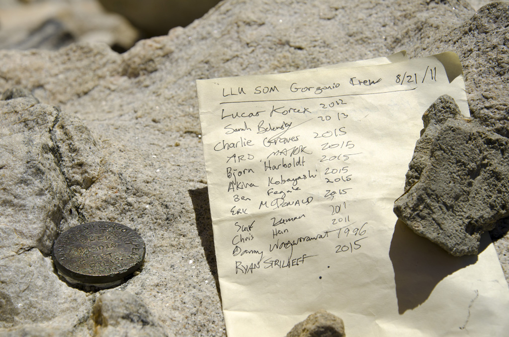
This trip took me and our group of residents and medical students from the Vivian Creek trailhead to San Gorgonio Peak. […]
-
Mount Rubidoux
We had a great time hiking up Mount Rubidoux. I got to bring our new puppy Durian out for an excursion.
-
Joshua Tree

This was a nice day trip, mainly to have a good time with friends while enjoying nature. While it was really hot during the day, it cooled off relatively quickly once the sun went down. Then, we had beautiful lighting from a full moon.
-
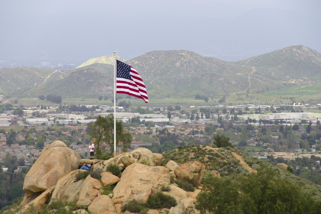
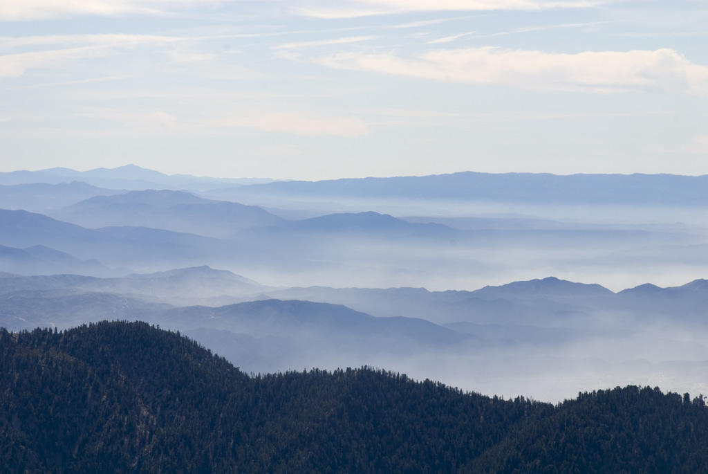
San Bernardino Peak
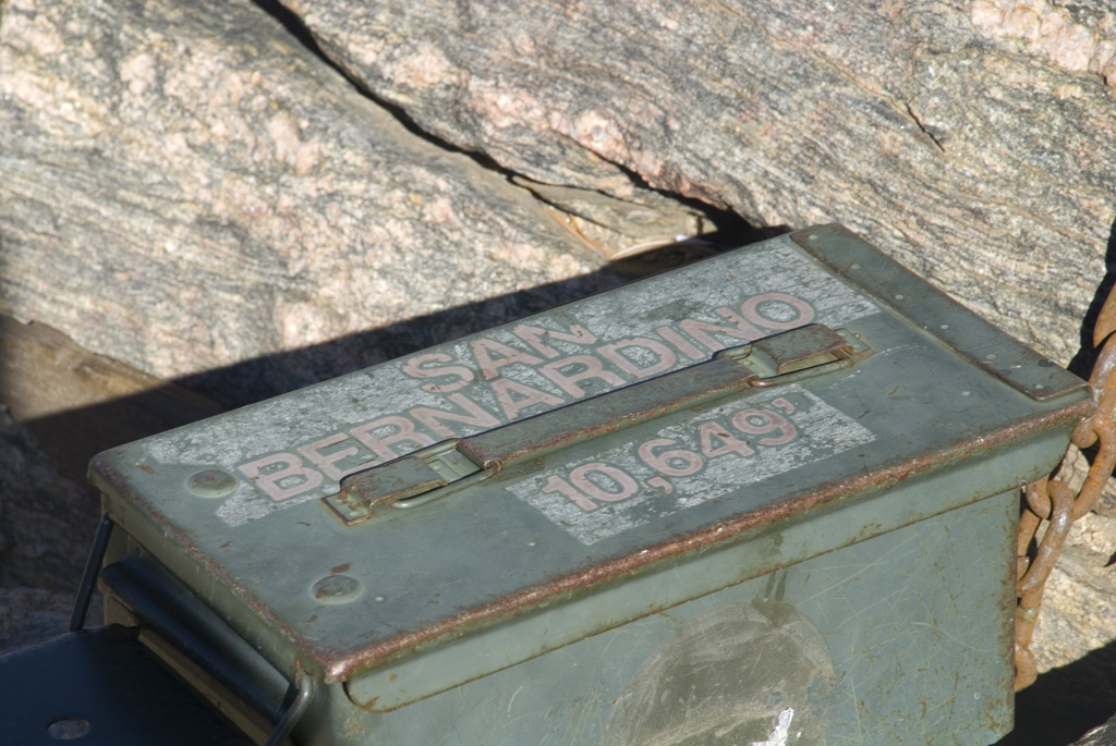
A group of us climbed San Bernardino Peak from the trailhead near Angelus Oaks. The weather, of course, was beautiful. Views from the top were breathtaking, especially at the turn just below the survey monument. These pictures are courtesy of Rob Quigley and Adam Lorenzetti.
-
Angwin, Pt. Reyes, Santa Rosa
I just got home from a trip to Northern California. The first day was spent driving to Angwin, arriving quite late at night. The next day, we went with Auntie Plerm and Uncle Michael on different tours—The Castle, Sepay olive oil company, Budweiser factory, and Jelly Belly. After some shopping and dinner, we went to…
-
Pt. Reyes National Seashore
Bryce, Kara, Alice, and I headed into the backcountry at Point Reyes National Seashore. The first day, we hiked from Bear Valley Ranger Station to Sky Camp. The next day took us down to the beach, where we arrived at Coast Camp shortly after noon. We napped away most of the afternoon. Saturday’s hike was…
-
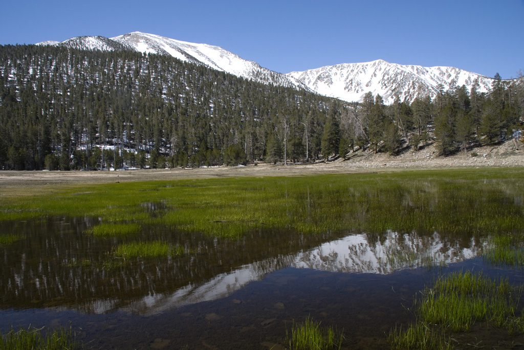
South Fork Trail
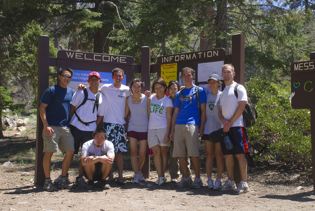
Starting from the South Fork trailhead in the San Bernardino National Forest, a group of us hiked up passed the meadow and up to the avalanche area. After that, we turned around and headed back down the mountain.
-
Mount Woodson
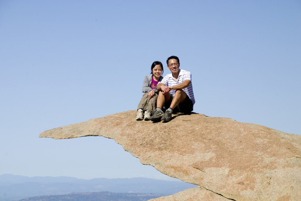
A group of us drove down to Poway and hiked up to Mount Woodson. Near the summit, there’s an outcropping called Potato Chip Rock, which is completely fitting for its name. We had a nice picnic lunch at the top. Then, we hiked back down, and a few of us decided to ignore the signs…
-
Angelus Oaks to San Bernardino Peak
We climbed San Bernardino Peak today. The hike started from Angelus Oaks. We left Loma Linda around 6:00 am, arriving at the 1W07 trailhead forty minutes later. It was cold, but I started out in shorts, a quick-dry t-shirt, and a beanie to prevent heat loss through the head. It turned out to be fine,…
-
Rainier’s Northern Loop Trail
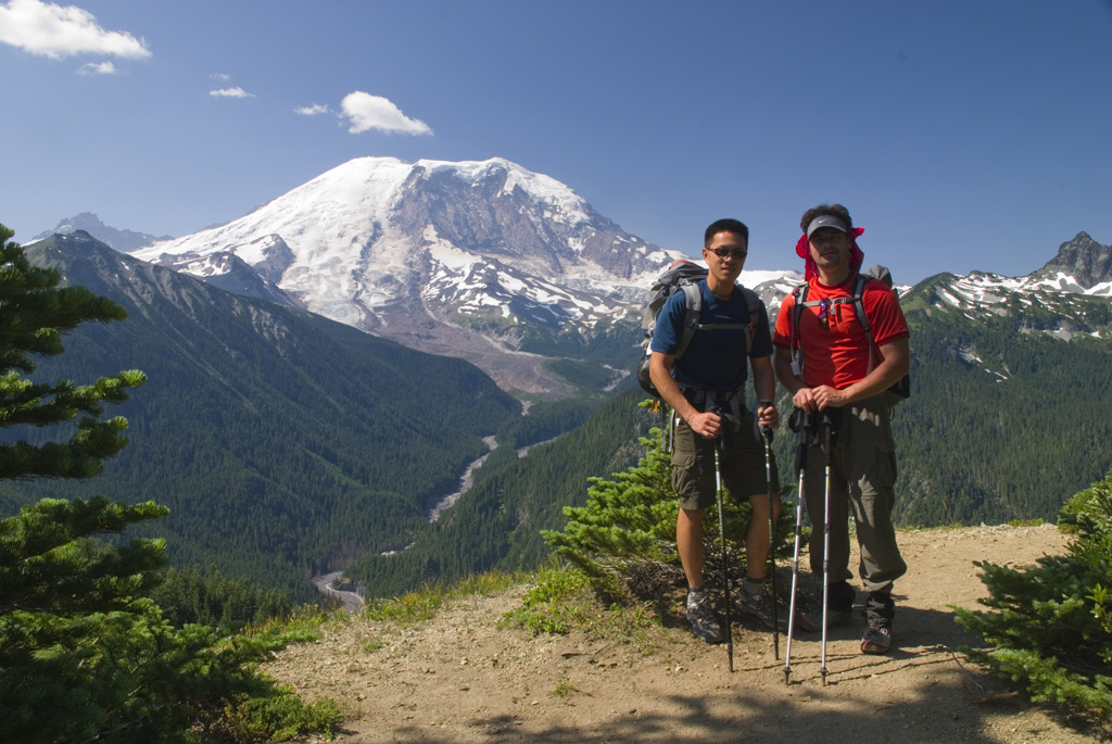
I arrived in Seattle. The first part of the trip will be a backpacking excursion along the Northern Loop Trail of Mount Rainier National Park before joining the Western Orthopaedic Association. Sunday morning, Brad and I drove to White River Ranger Station to pick up our permits after having breakfast at IHOP. We then parked…
-
Forest Falls
It’s springtime, and a small group of us went to Forest Falls to enjoy the scenery. Also with us was Jun Jun Zhang from the Second Hospital of Tangshan. He will be visiting for a few months.
-
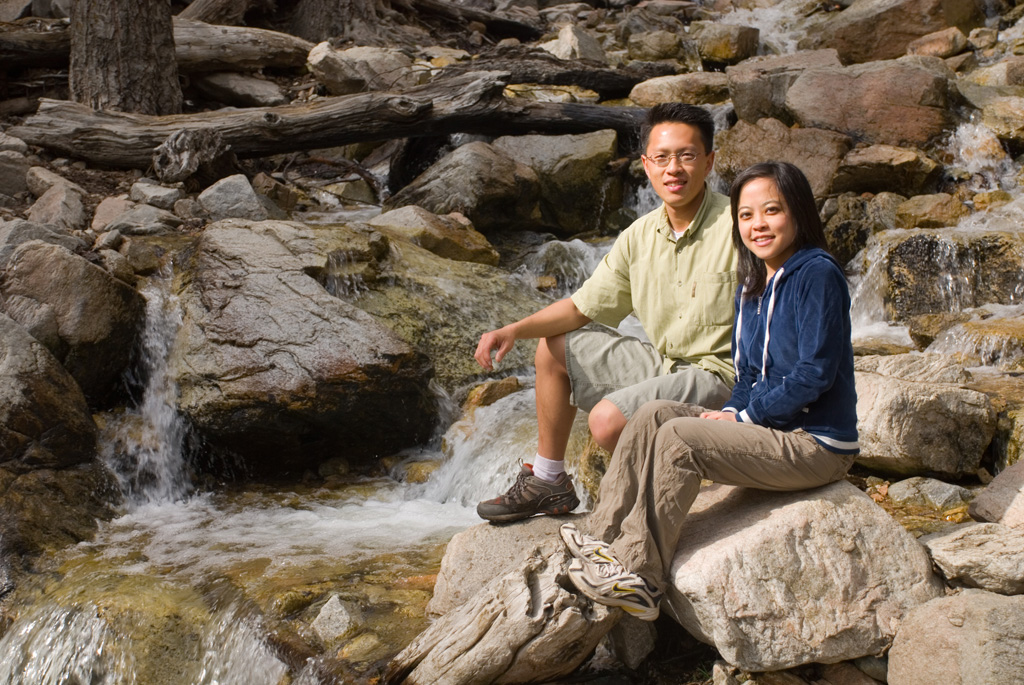
Grand Canyon
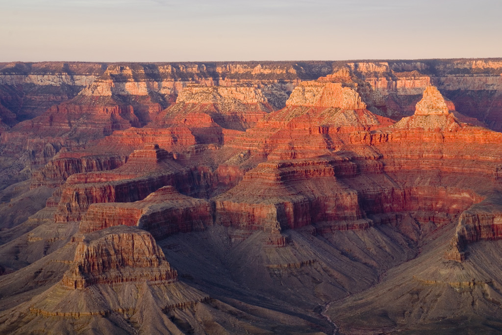
We’ve all been looking forward to the Grand Canyon hike. Very early Saturday morning, as the mercury plummets to below 20 degrees F, Todd and I pull into Mather Campground after a very long drive from Las Vegas, post AAOS. The frozen ground crackles under our feet as we step out of the car. Brad…
-
Angelus Oaks Snowshoe
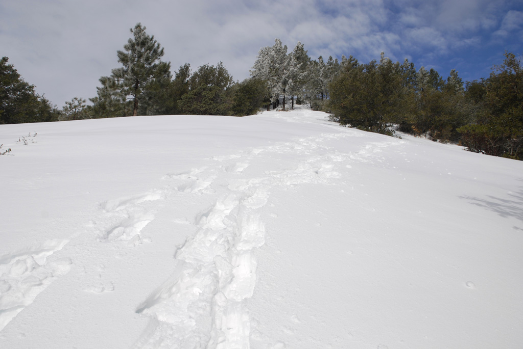
This snowshoe trip was more strenuous than I had expected. Uncle Ben Vassantachart and I went up to Angelus Oaks and parked by the restaurant. We followed the trail up to the helipad and spent some time exploring. After getting to that plateau, we decided to come straight down the mountain, cross country style. Some…
-
Vivian Creek to San Gorgonio Peak

Last Sunday, a group of us took an ambitious trip up San Gorgonio. The group I took consisted of Hasan (4th year orthopaedic surgery resident), Ken (senior medical student), DJ and Rob (juniors), Mark and Seth (sophomores), and Brandon (whom I ran into at the Drayson Center several days before). We left Loma Linda at…
-
South Fork Trailhead
At church two days ago, we were casually discussing hiking San Gorgonio. That random conversation materialized into an actual trip today. We met up at 5:30 and drove together to the South Fork Trailhead. We decided to try a different route, since many of us had already done the Vivian Creek starting point. Just past…
-
Phoenix and the Superstition Mountains
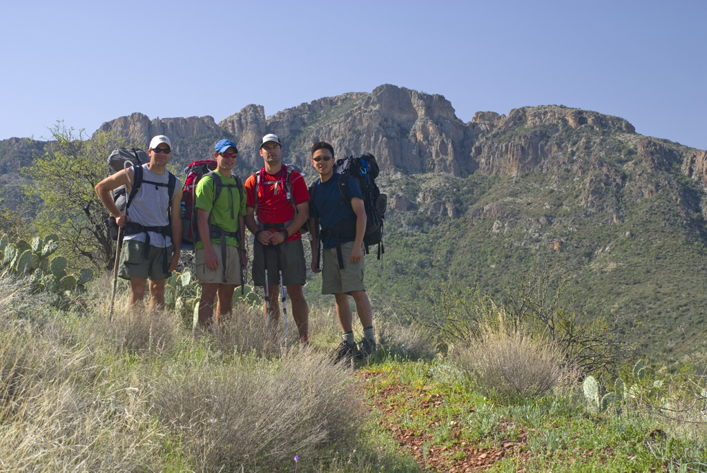
On Thursday, April 3, I fly to Phoenix for a wonderful stay with the Wilsons. It’s my birthday, and Sarah makes a wonderful melt-in-your-mouth dark chocolate soufflé. We leave for the trailhead on Friday morning and start hiking around 10:40. The main part of the trip takes us through the Tonto National Forest, Supersition Wilderness…
-
San Gorgonio Summit
This hike up San Gorgonio started early in the morning. Along were Rob, Seth, Corey, Juliana, as well as a desert bighorn sheep seen near the summit.
-
Ediza and Minaret Lakes
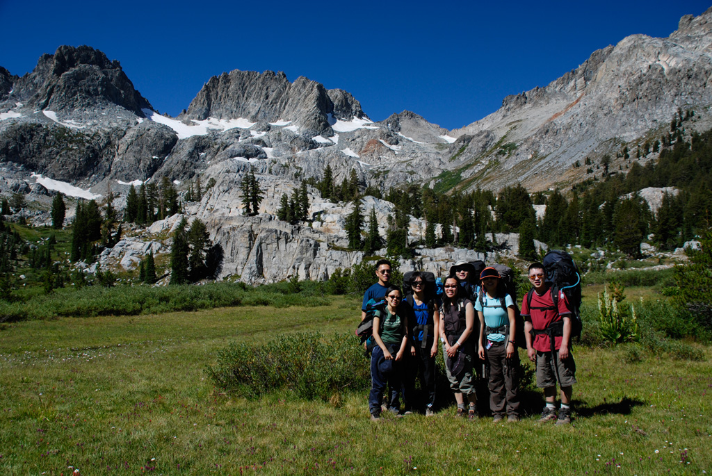
On Thursday, we pack up and head to New Shady Rest Campground just outside the town of Mammoth. For dinner, we have cold soba noodles. The next morning, we shuttle to the Agnew Meadow trailhead and begin our hike. Our semi-loop trip takes us around Shadow Lake to Ediza Lake, where we spend our first…
-
Zion Narrows
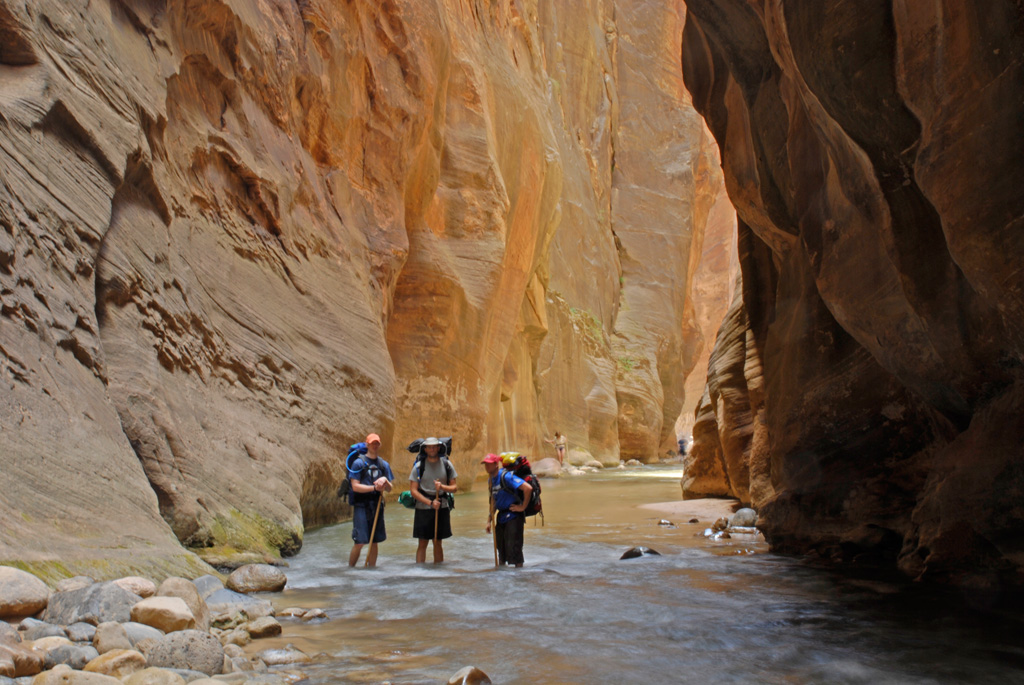
Chad, Kevin, and Armando meet me bright and early on Thursday morning. We load up Armando’s car and head out to Zion National Park and find our site at the Watchman Campground. We inch along the trail’s knife edge through dizzying switchbacks to Angel’s Landing for a panoramic view of the park. This trip had…
-
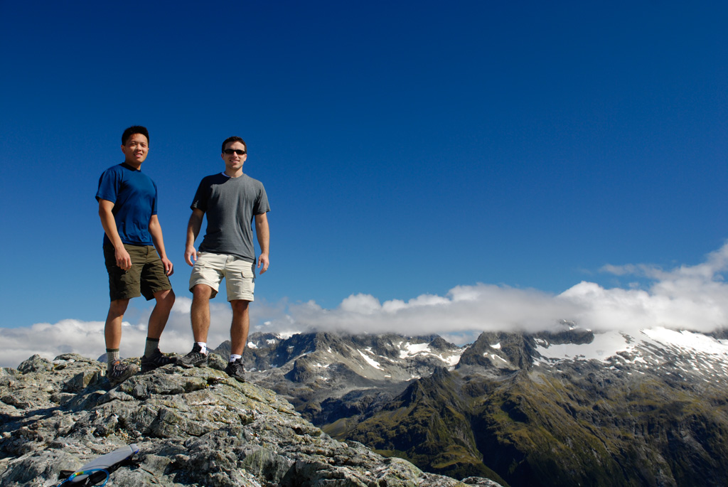
New Zealand with Shane
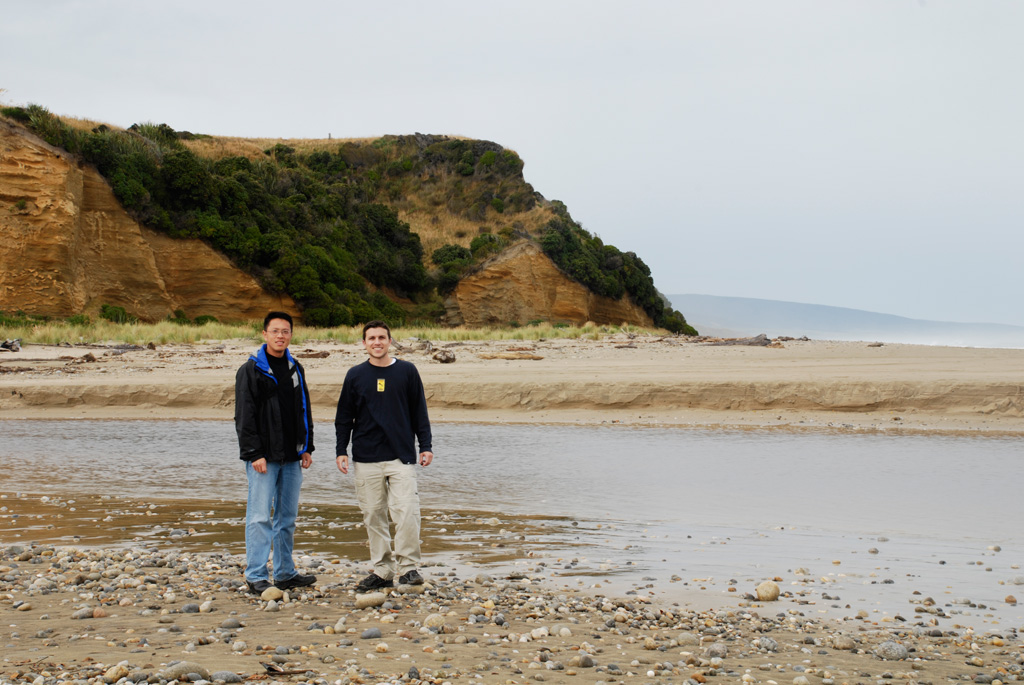
This afternoon, we got back from New Zealand. It was absolutely amazing. Last Monday, March 5, I went to work in the morning and saw some patients in clinic. After that, I quickly ate lunch and went out to REI to get a pair of trail runners and a day pack. The traffic was very…
-
Routeburn Track
The trail up to the Routeburn Flats wasn’t too bad. Everything was covered in moss and ferns. There were some spectacular waterfalls. At the hut, we dropped off some of our gear. We forgot to print our tickets, but the warden took our names and radioed the information for confirmation. We then proceeded up to…
-
Greenstone-Caples Track
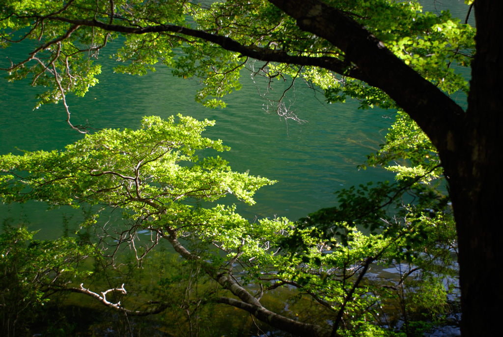
The Kinloch Lodge receptionist suggested that we hike the Greenstone-Caples Track. The Lake Rere Loop was very accessible. We left at 16:30, and the route along waterfalls and lake took about four hours. At the road, during our return, we encountered sheep being herded in for the night. That was comical.