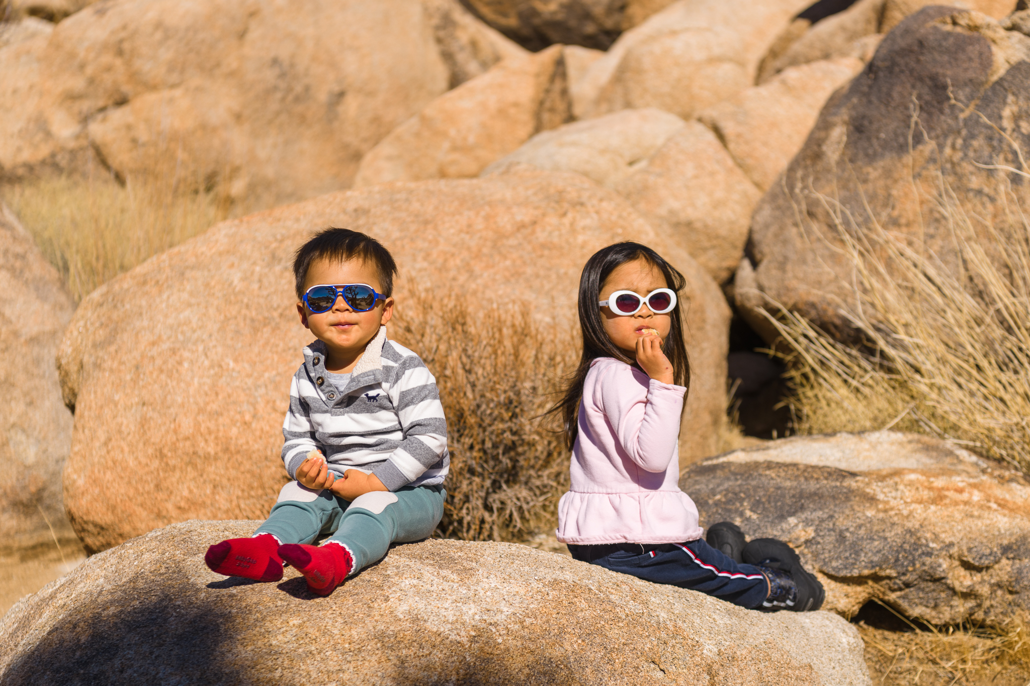
Category: Hiking
-
Aravaipa Canyon Wilderness
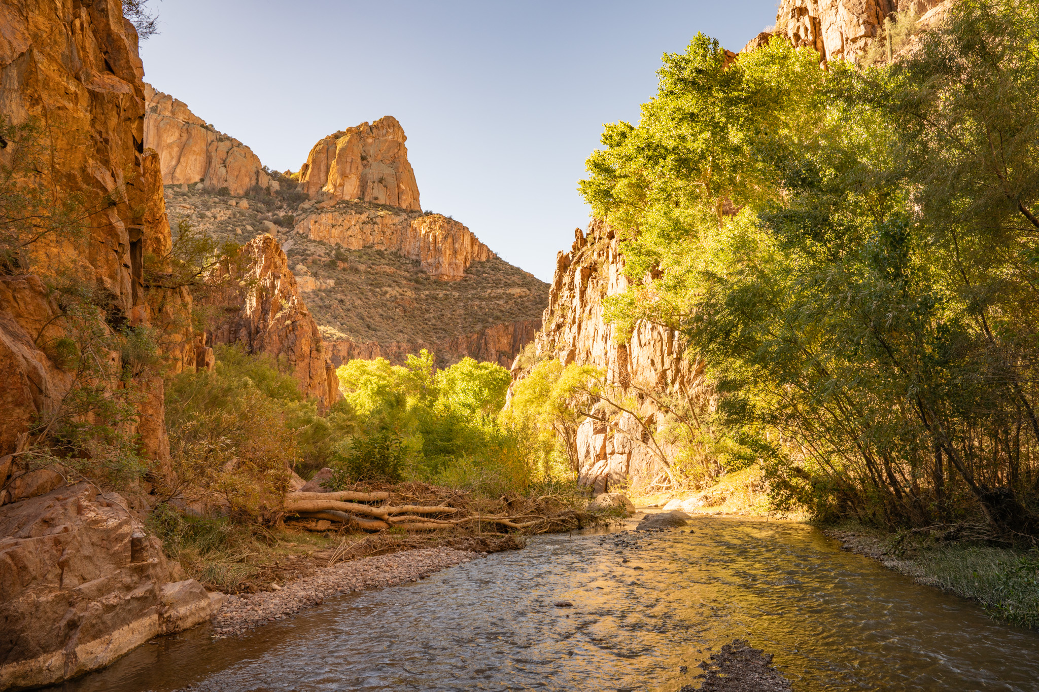
This trip was planned months ago, and we had missed getting permits for the original weekend. This date was our backup, but it turned out to be better now, when the Arizona summer has transitioned to more fall-like.
-
Saddlebag Lake to Greenstone Lake
It’s been a year since we last went backpacking, and the kids have been looking forward to this trip. They are growing up, and they can have more freedom on this trip. The night before our trip, I put all the kids to bed an hour early, since we have an early morning start to…
-
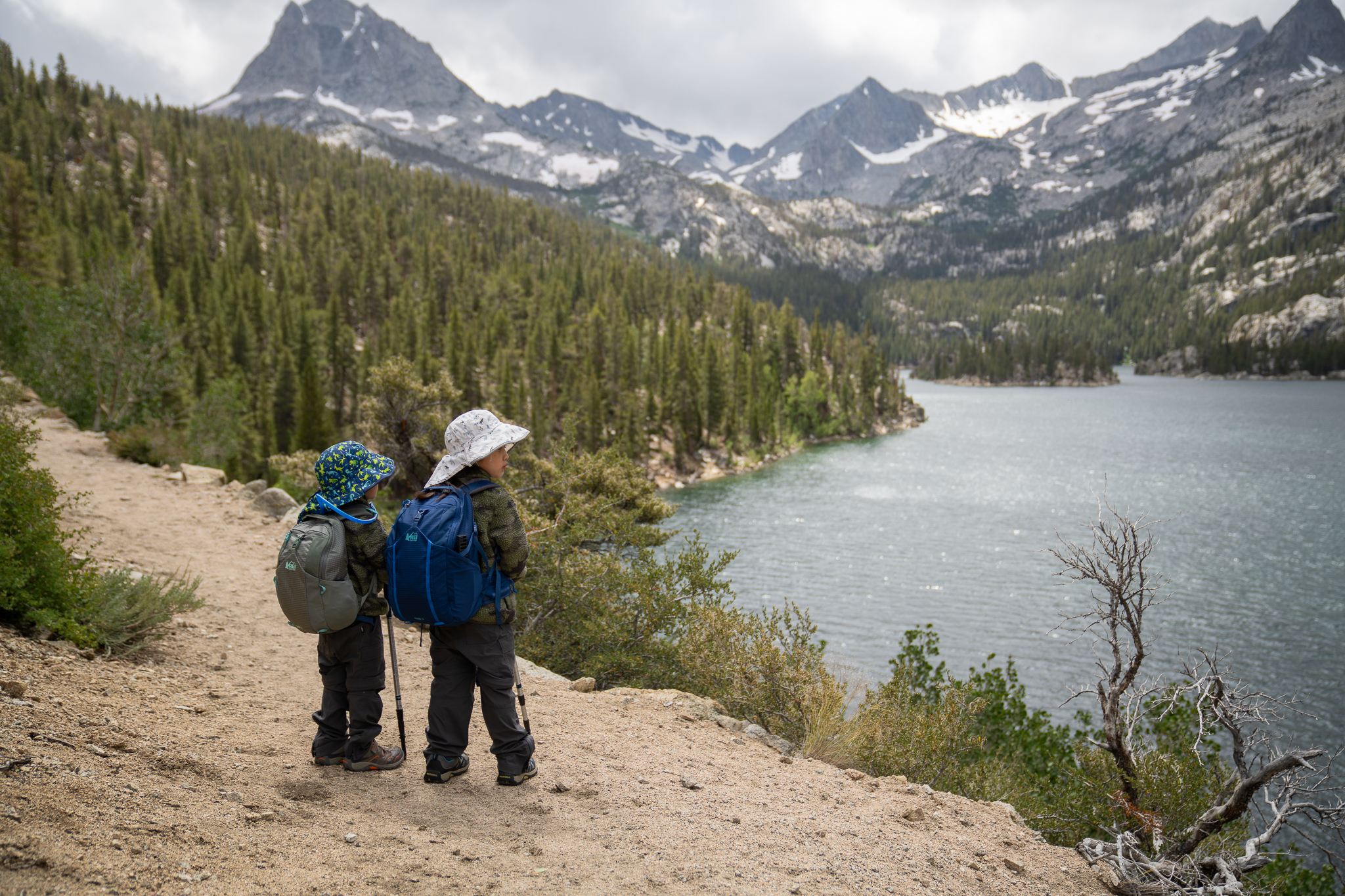
Hilton Creek Lakes
It’s a sunny Friday morning. We had driven up the day before and camped at Rock Creek Lake, a beautiful spot surrounded by pines and aspens that are just beginning to glimmer gold. The hike to Hilton Creek Lake #2 is five miles according to the map. We set out first, while Kendrick, Rakesh, Kara,…
-
Shepherd Creek
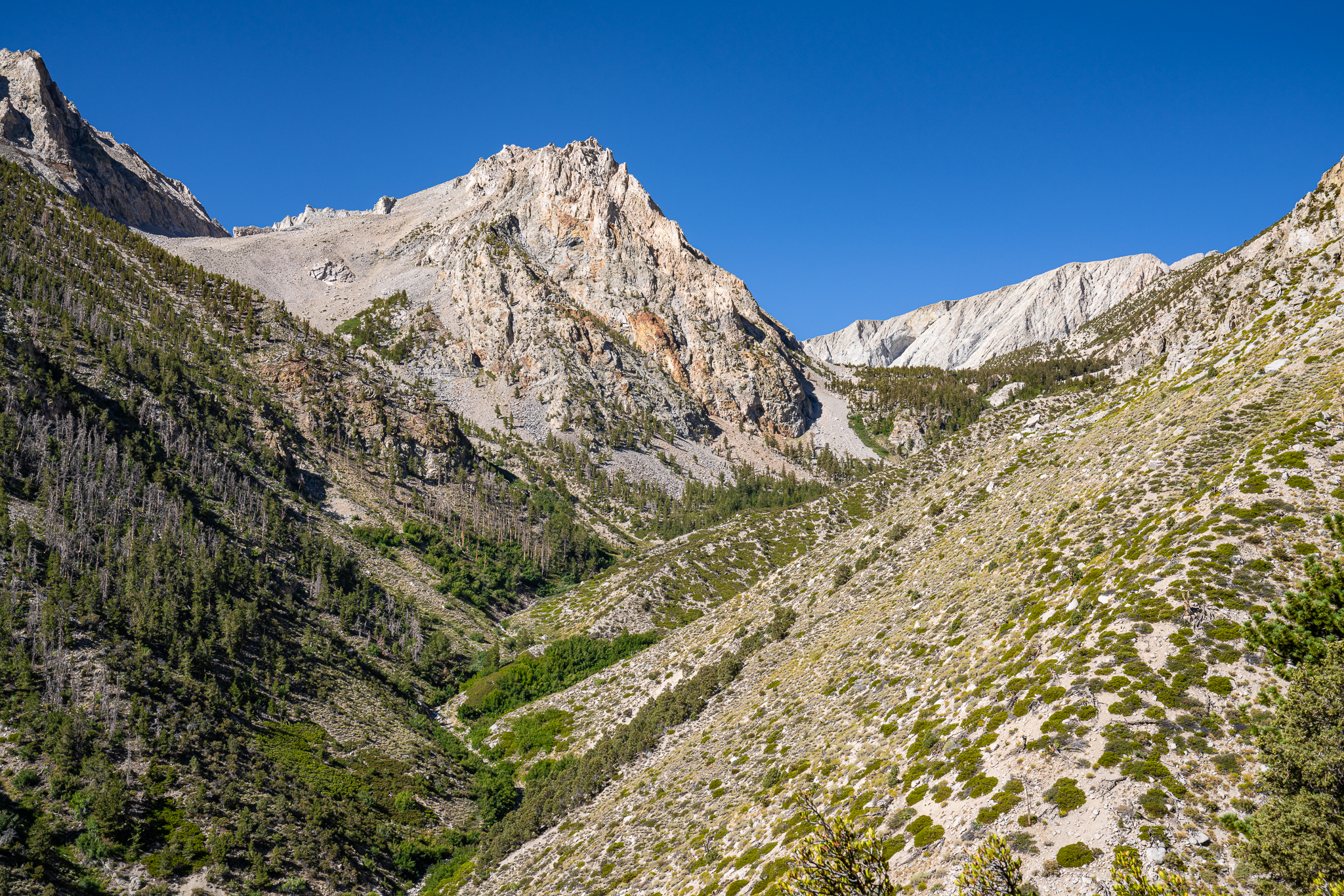
The first light of dawn peeks through the trees, nudging me awake from nine solid hours of sleep. There’s no rush, but we know we need to finish breakfast and hit the trail soon—Brad has a plane to catch. Breakfast is familiar but satisfying, with an extra treat of honey packets we saved from yesterday.
-
Shepherd Pass
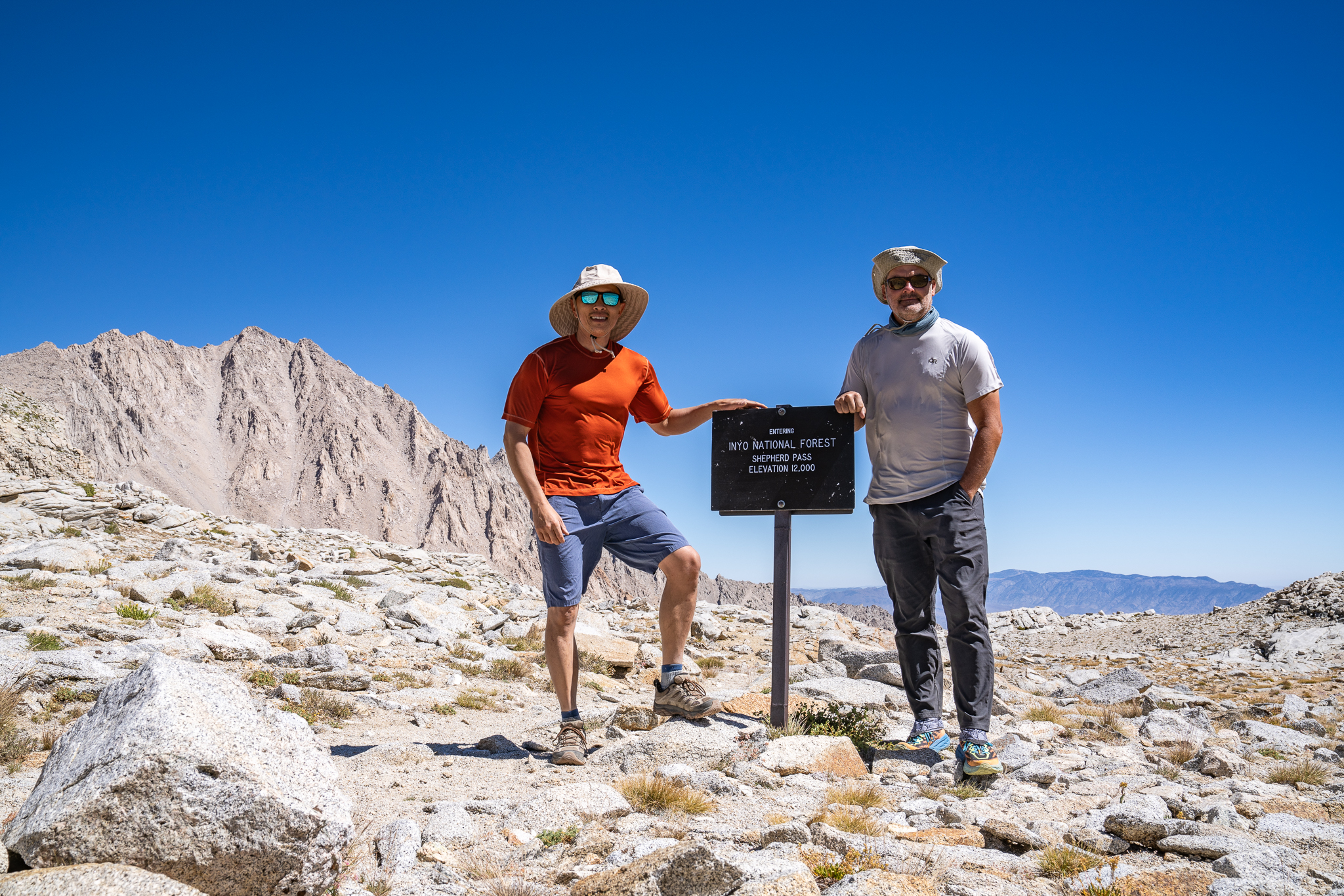
“The sun is up,” Brad’s voice jolts me. I leap out of my sleeping bag, jump out of the tent, grab my wide-angle lens, and crank down the aperture. I race along the shores of Lake 11,400’, chasing the border where light meets shadow, trying to capture perfect sun stars. As I reach the southern…
-
Forester Pass
Breakfast is the same, yet somehow it gets better each morning—hearty oatmeal mixed with honey, pour-over coffee, and scones that hit the spot. Sunbeams dance on the stream like shards of glass, casting shades of amber, emerald, and turquoise. The inlet at Golden Bear Lake flows stronger today, a subtle shift from yesterday’s calm. We…
-
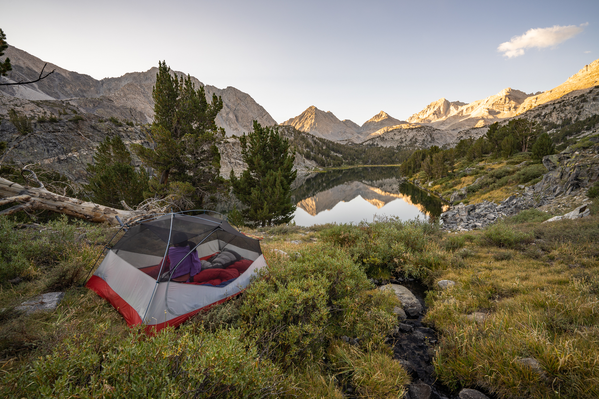
Center Basin
The lake is still, like a mirror in the morning light. Around dawn, I poke around with my macro lens to find suitable subjects, looking for details that often go unnoticed. Then, we have a simple but satisfying breakfast: oatmeal with honey , scones with pour-over coffee. I had made the contraption to hold the…
-
Kearsarge Pass
At last, Brad and I are standing at the Onion Valley trailhead on this very overdue trip. Way overdue. We had talked about doing such a trip off and on over the years—for nine years, to be exact. Only now has it materialized.
-
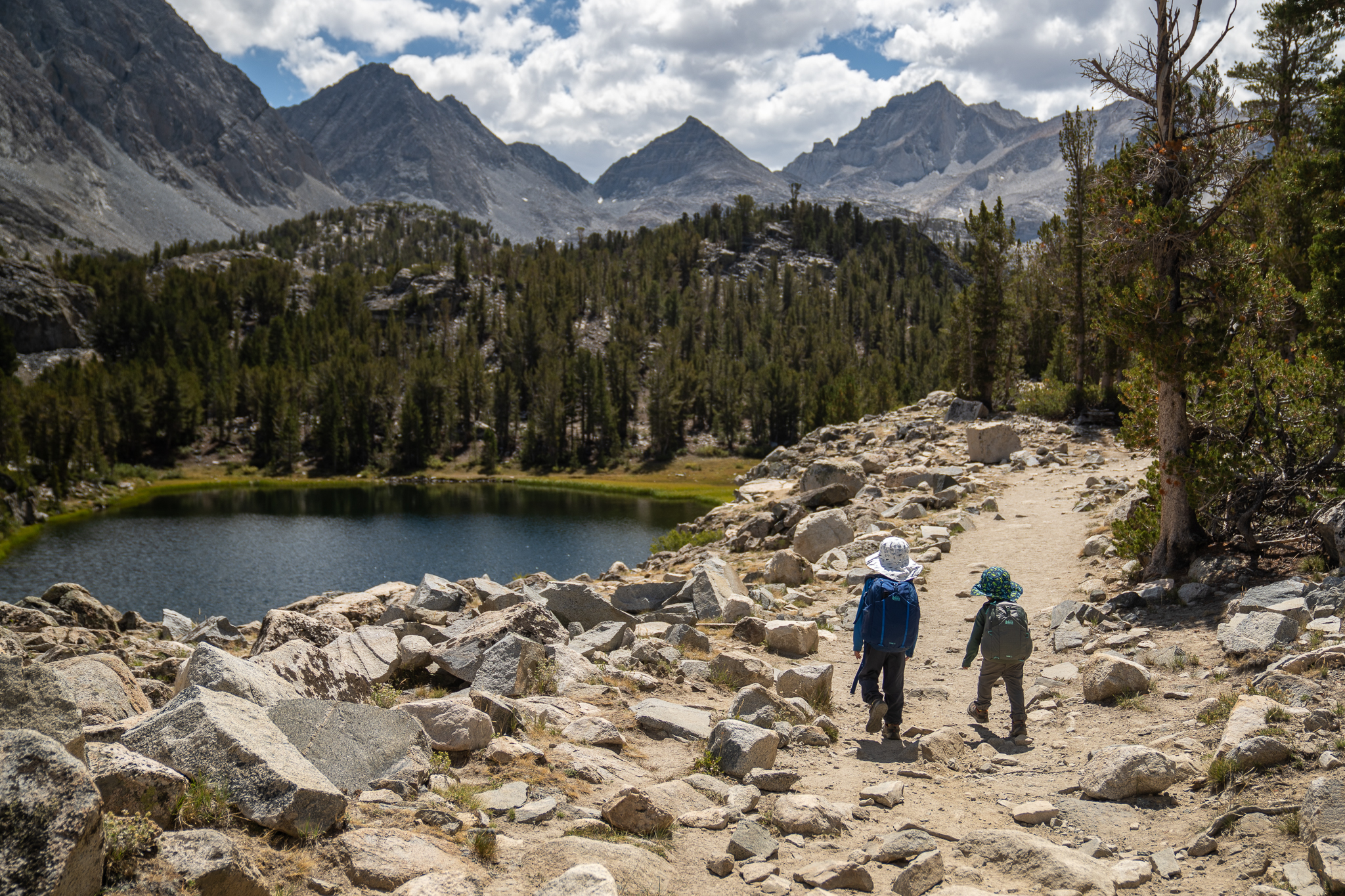
Cottonwood Lakes
The kids are getting more and more trail time. Two years ago, we did one uphill mile each day, with two miles hiking out. Last year, we did two miles with a lot of elevation gain. Now, we’re going to tackle more than five miles. The last week has been all about getting ready, both…
-
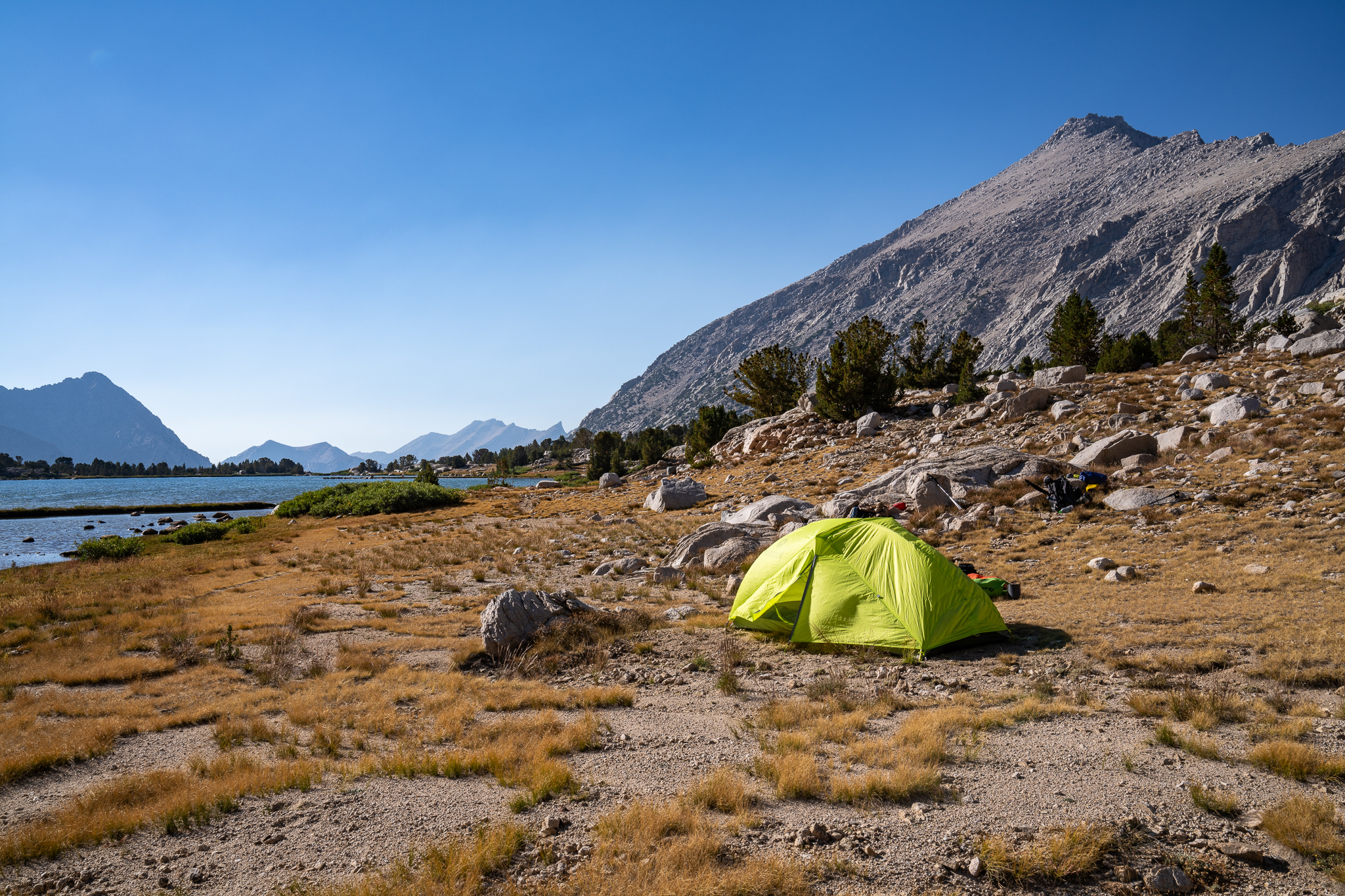
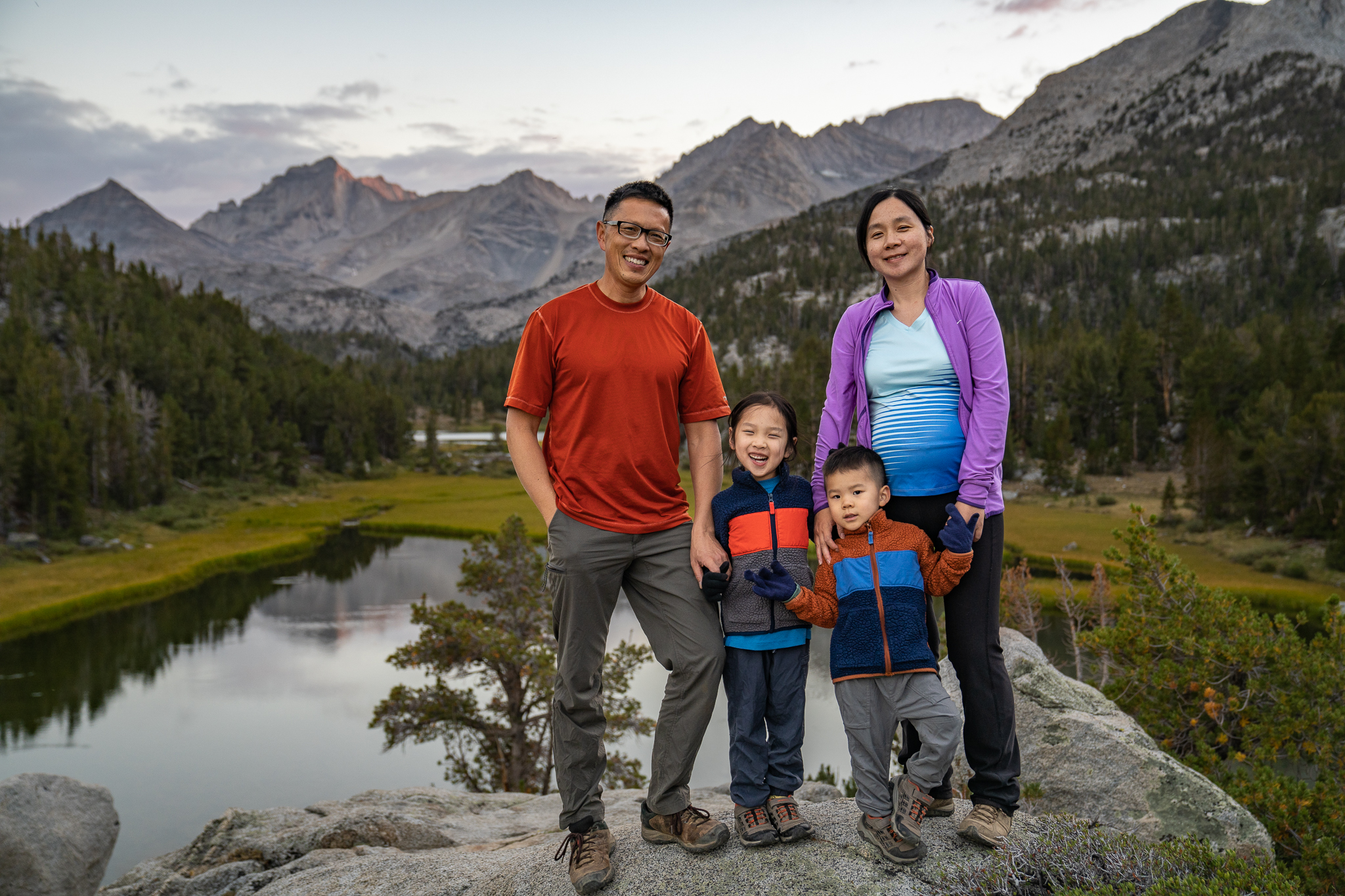
South Lake to Long Lake
Anticipation Excitement builds. Daphney and Jayden can’t wait. Last year’s backpacking trip felt like a proud accomplishment. This will be a trip bigger than the last, and this will be Myles’s first such trip. It’s Friday evening of Labor Day weekend. Yan and I are doing some final packing. “We’re going to wake up at…
-
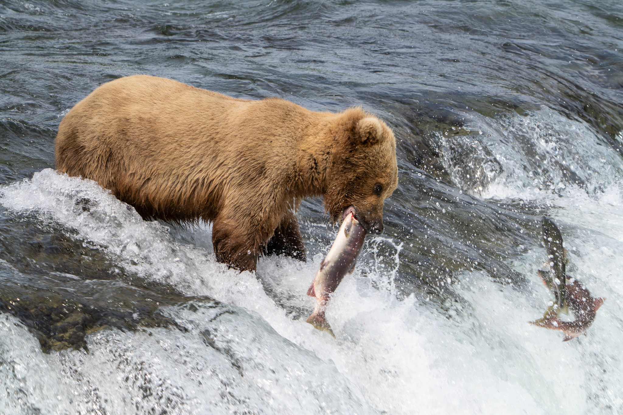
Katmai
We disembark onto a private bus. There are a few others with us. Making our way through the Anton Anderson Memorial Tunnel, we soon arrive at the Anchorage airport. I check the car seats and bags for city travel at the storage facility, then board our flight to King Salmon. There is no reception in…
-
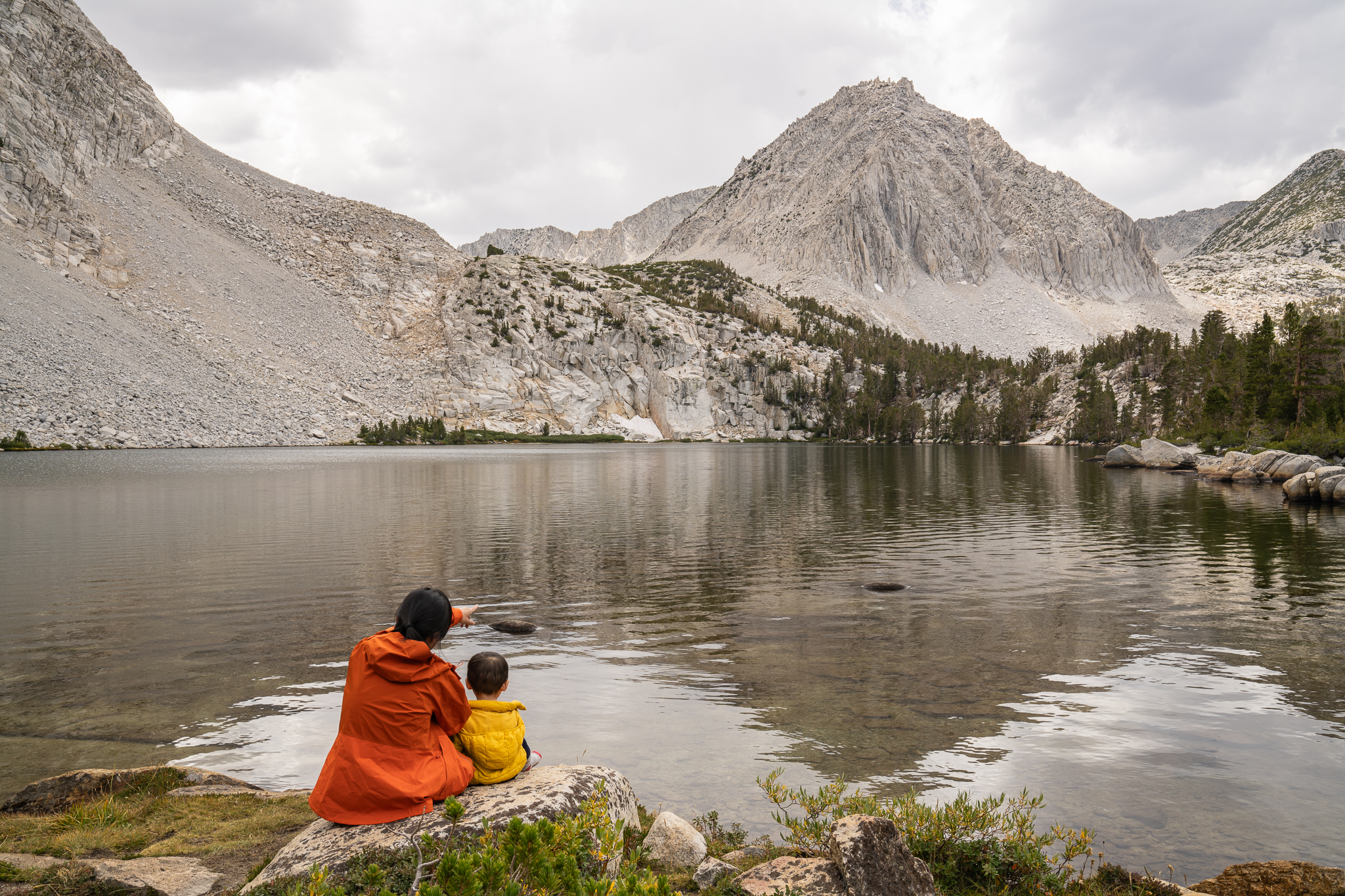
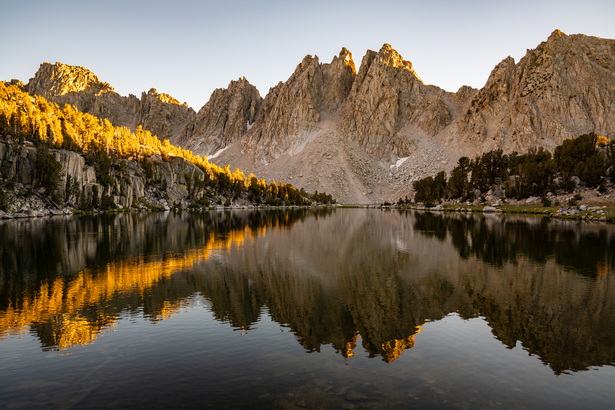
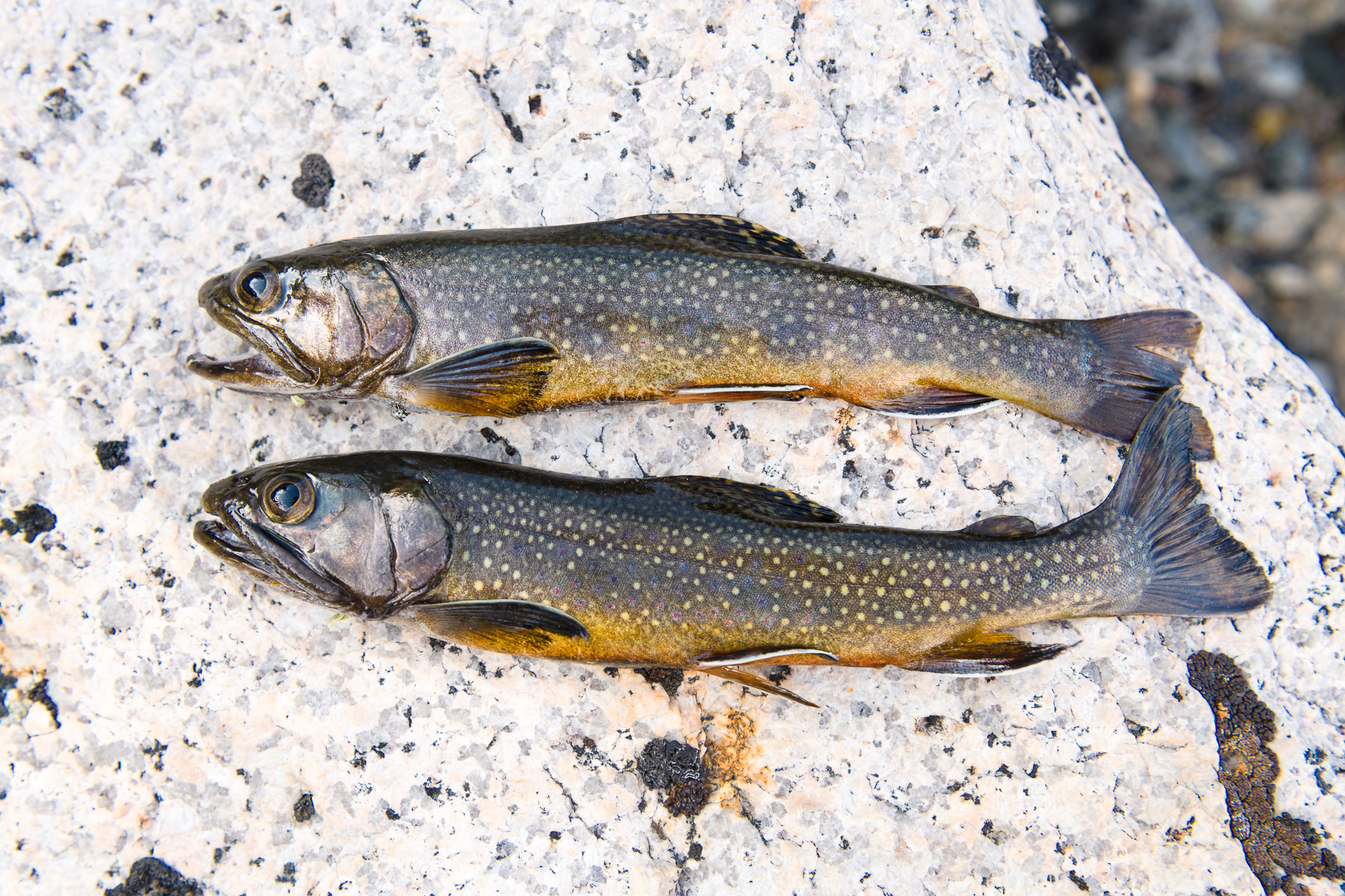
Long Lake to Mosquito Flat
This is our final day! The lake is like a polished mirror, and the mountain range stand like a boundary between the water and the sky. The two almost look indistinguishable. The kids stir and wake up. I go out for a photography session and fish while Yan makes oatmeal breakfast.
-
Marsh Lake to Long Lake
Rock Creek is still singing when I get up. The clothes on the line are mostly dry. Soon, the kids stir. I climb the hillock nearby and shoot pictures of clear reflections in the lake as it stretches like a polished slab of glass dotted with marsh grass.
-
Mosquito Flat to Marsh Lake
The trail rises gently out of Mosquito Flat. In contrast to the scorching hot week in Loma Linda, the air, scented with pine needles and sagebrush, is cool. I tell the kids a story about hiking in Kings Canyon to distract them from the mild uphill. Just before the trail junction to Ruby Lake and…
-
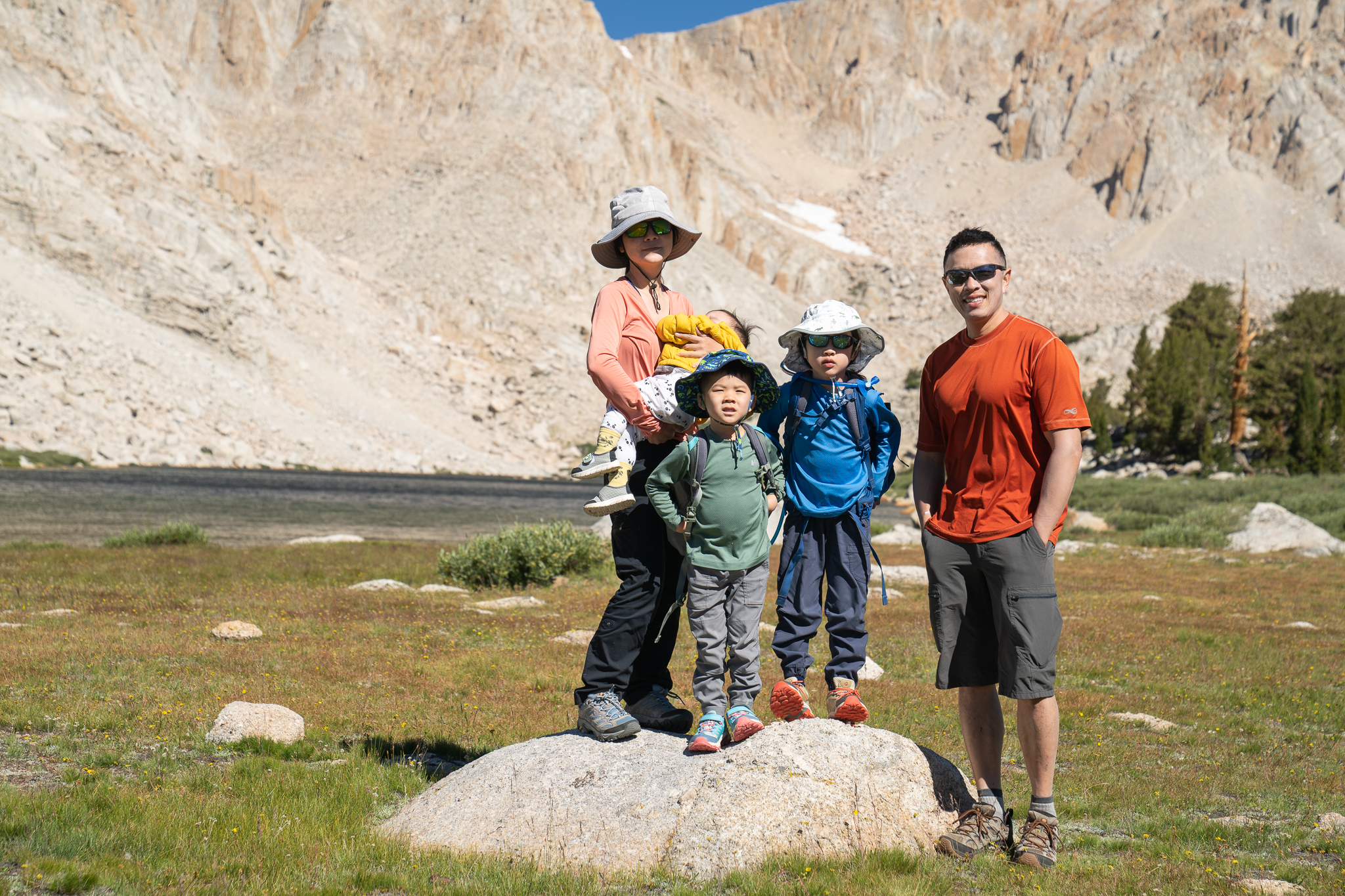
Preparations for Little Lakes Valley
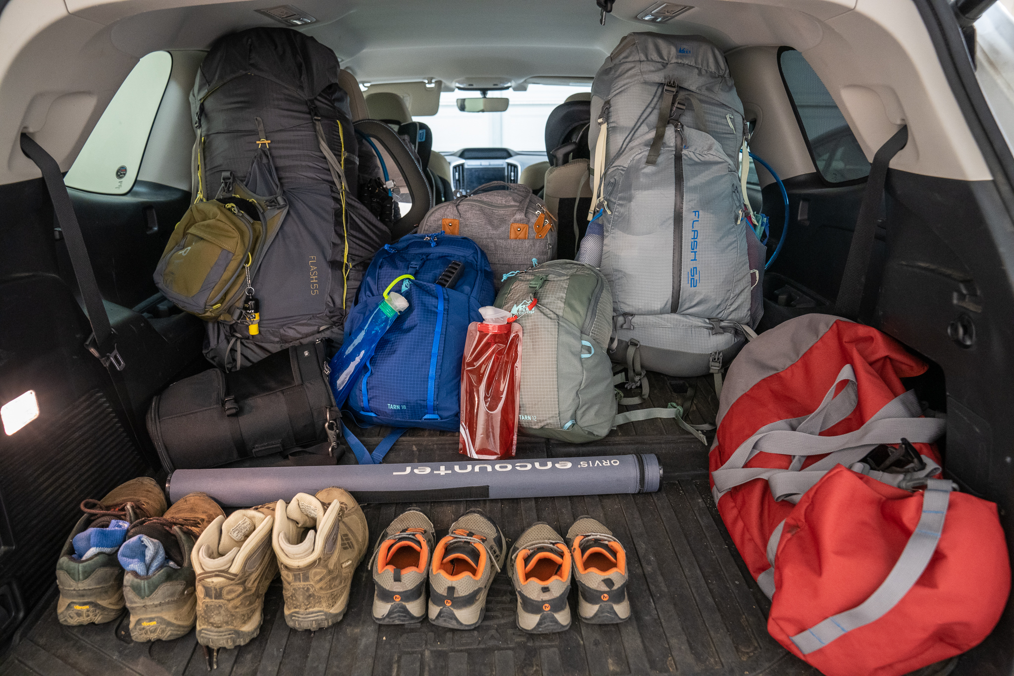
The anticipation began more than six months ago. After seeing the kids hike the loop trail in Pinnacles National Park, and after having abandoned their double stroller in favor of shoes, we grew confident that they will be able to go backpacking.
-
Onion Valley to Golden Trout Lake
Little did we know that the trail to Golden Trout Lake was straight up the side of a water and across some sketchy house-sized boulders stacked on a slope. From the map, it didn’t look far at all, very doable, I thought. Yan, pregnant, and I, with Daphney on my back, adventured into this wilderness,…
-
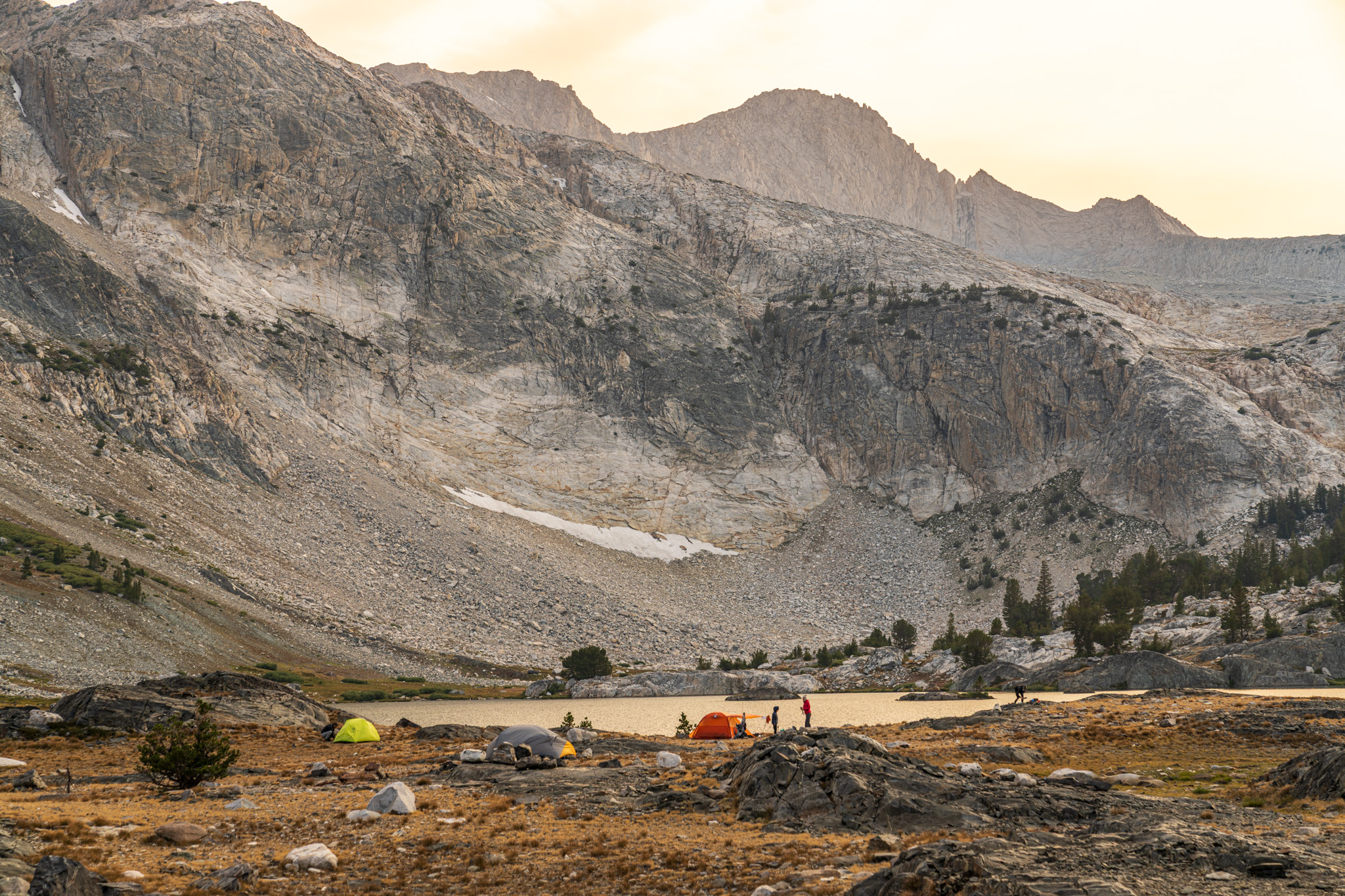
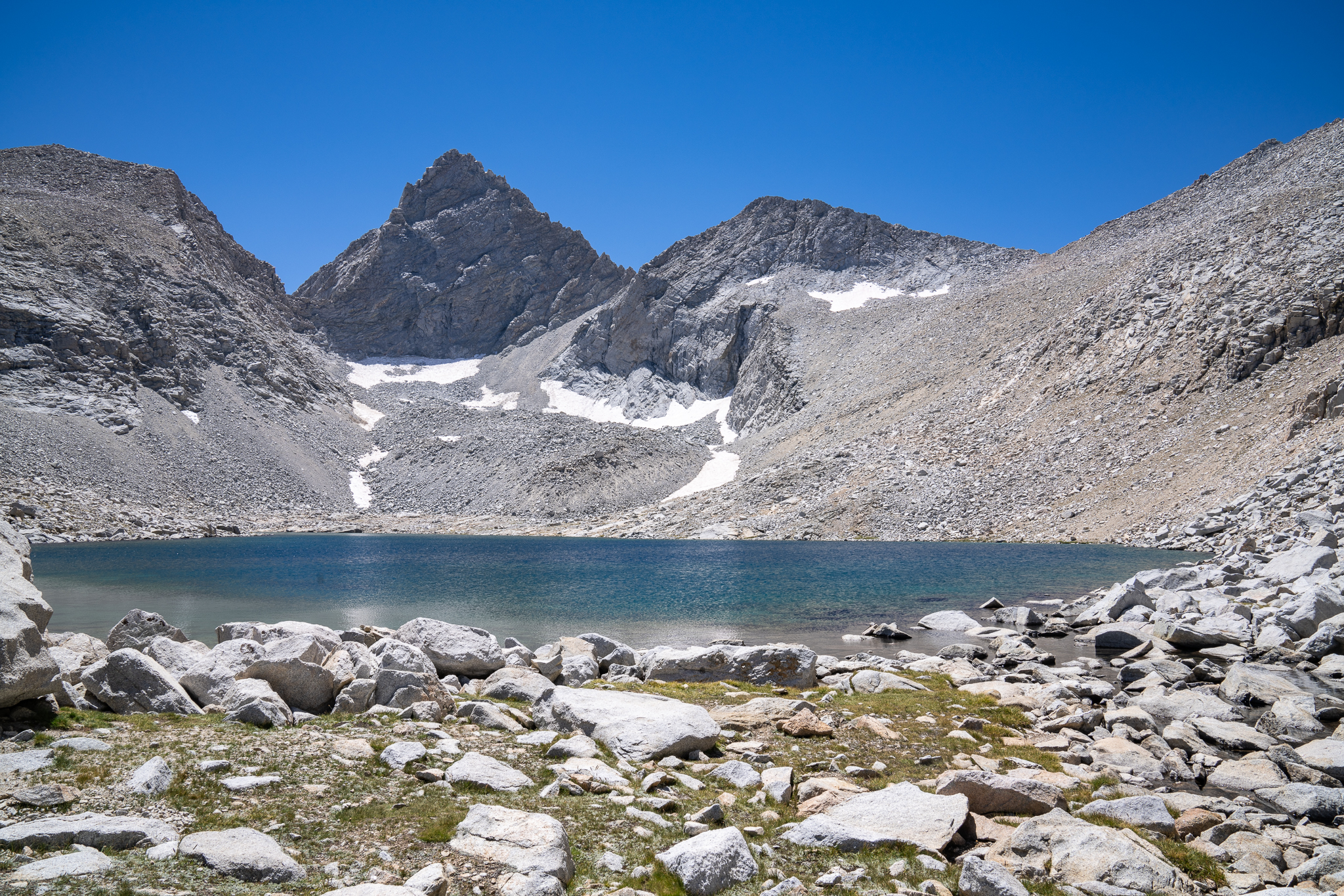
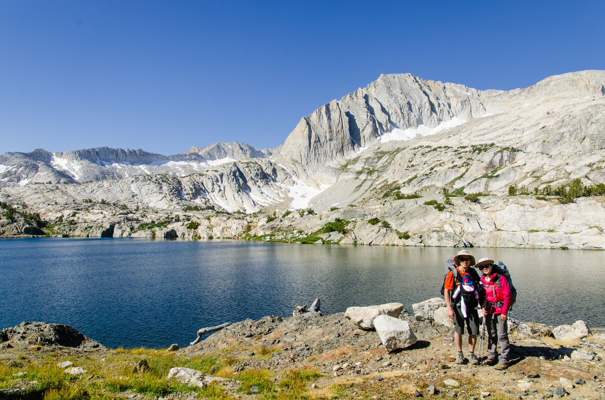
Greenstone Lake
When permits are hard to come by, the Saddlebag Lake area is always a good fallback. We spent the first night in a developed campground, and then we ventured in along the south side of Saddlebag Lake. The first major lake just to the left of the trail is Greenstone Lake. Mark arrived there first,…
-
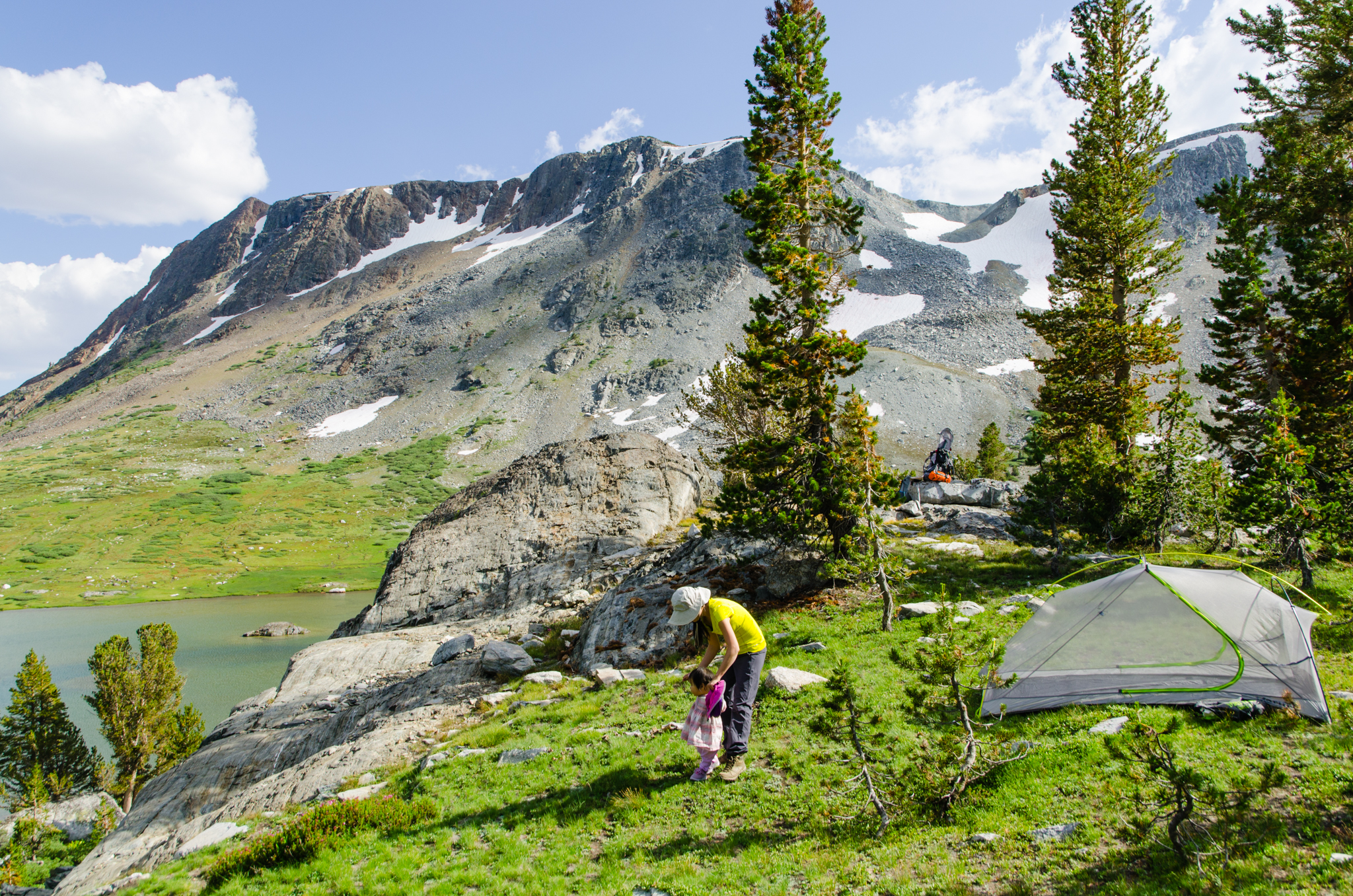
Twenty Lakes Basin
Having successfully camped for two nights and hiked at high altitude, we figured it was safe to go backpacking. This will be Daphney’s first trip into the backcountry wilderness.
-
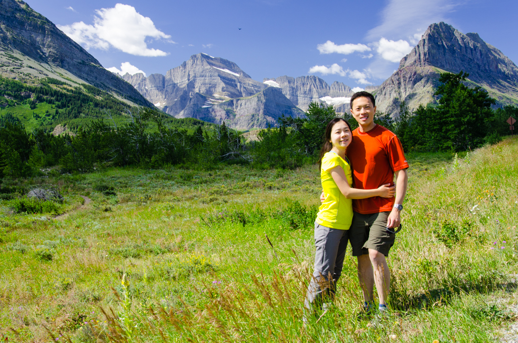
Seattle, Mt. Rainier, and the Olympic Mountains
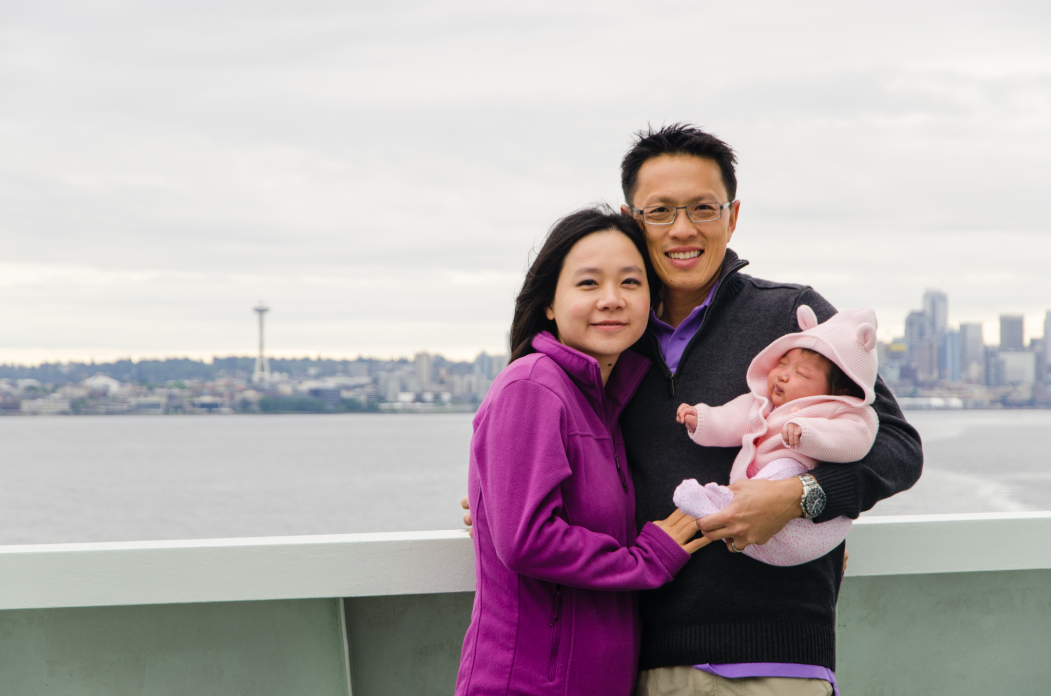
We’re heading to Seattle for me meeting at the American Orthopaedic Association. This first flight for Daphney goes well, and she isn’t the least bit bothered by the cabin pressure changes. Aside from the meetings, Seattle brings us great opportunities for sightseeing. Daphney gets her first rental car ride. She visits the original Starbucks. We…
-
San Jacinto Desert View Trail
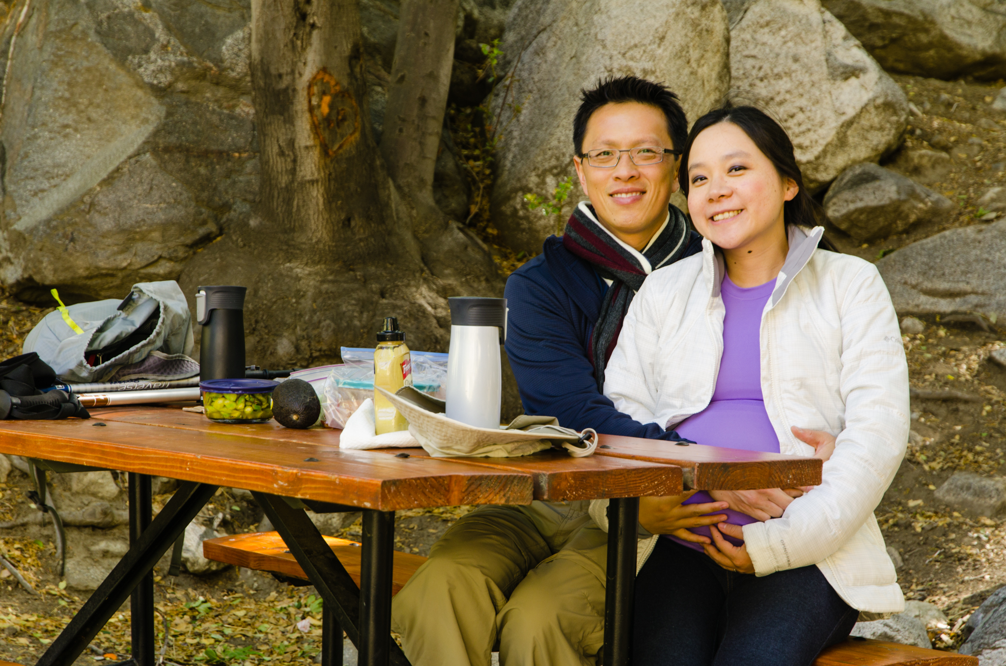
Yan and I have been enjoying taking pregnancy pictures, and with our love for the outdoors, San Jacinto seemed fitting. We drive out to Palm Springs, get tramway tickets, and have lunch there while waiting for our turn. This time, it’s homemade flatbread with vegetables. Once at the top, we have little time to do…
-
Etiwanda Falls
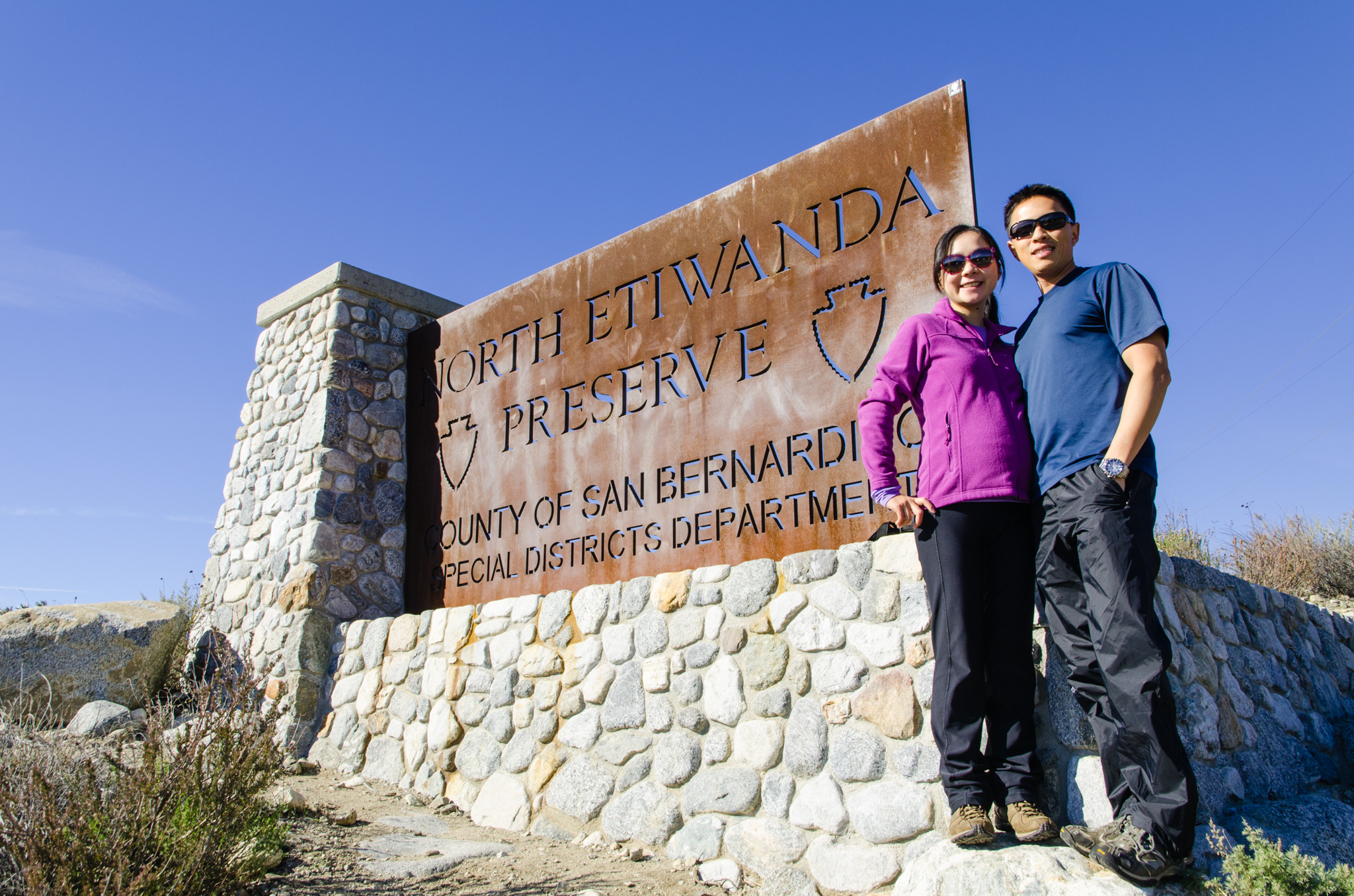
It’s New Year’s Day, and we want to start off the year by being active. We decide to do this popular hike to Etiwanda Falls. From the reviews, this trail has great ratings. We arrive at the trailhead parking early, and parking lot nearly full. We park, pack up, and start the hike. This trail…
-
North Cascades
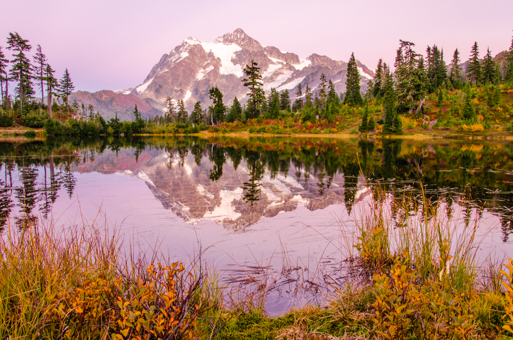
It’s early Sabbath morning, and I take off early for the mountains. The destination will be the North Cascades. The day before, I had researched the area, and it looks like one of the most accessible trails with the best views is the Hannegan Pass trail. So, this is the one I chose. Driving up…
-
To Many Glacier
We wake up to warm dry conditions on the last day. The clouds have completely left, and everything except for the ground cloth is bone dry. Mark discovers that his tent has fallen apart, the plastic window in the rainfly detached from the vestibule’s awning. He sticks his head out like a turtle. It’s time…