Tag: star trails
-
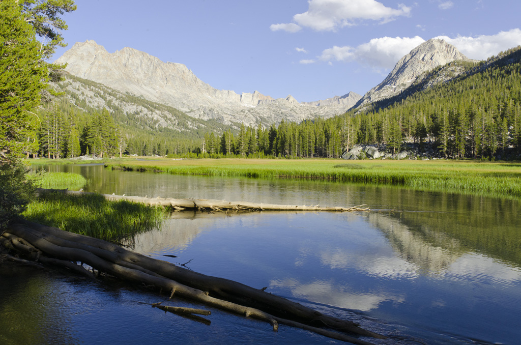
Center Basin
The lake is still, like a mirror in the morning light. Around dawn, I poke around with my macro lens to find suitable subjects, looking for details that often go unnoticed. Then, we have a simple but satisfying breakfast: oatmeal with honey , scones with pour-over coffee. I had made the contraption to hold the…
-
East of the Sierras

East of the Sierras | Lake Tahoe | Lassen Volcanic National Park | Central Valley | Yosemite National Park | The Lower Kern
-
Twenty Lakes Basin
Having successfully camped for two nights and hiked at high altitude, we figured it was safe to go backpacking. This will be Daphney’s first trip into the backcountry wilderness.
-
Joshua Tree
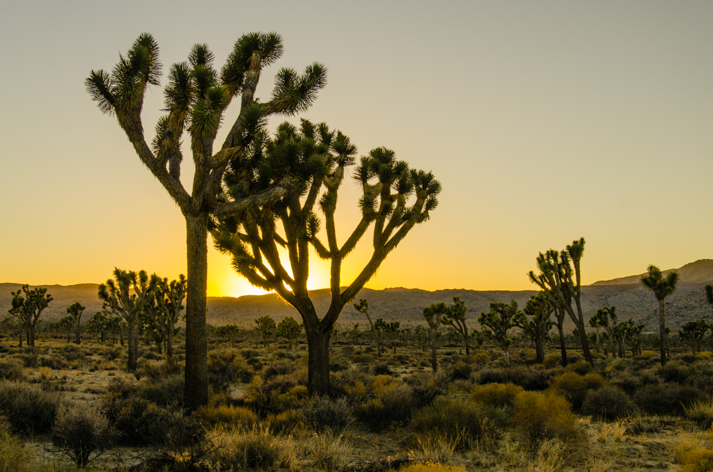
It’s been many years since my last climbing trip. I was a college student then. Now, my residents think that I can still do this, and Lucas set me up with gear. My main reason to go out to Joshua Tree was to get some Milky Way shots. But at this time of year, I…
-
Star Trails for Christmas Eve
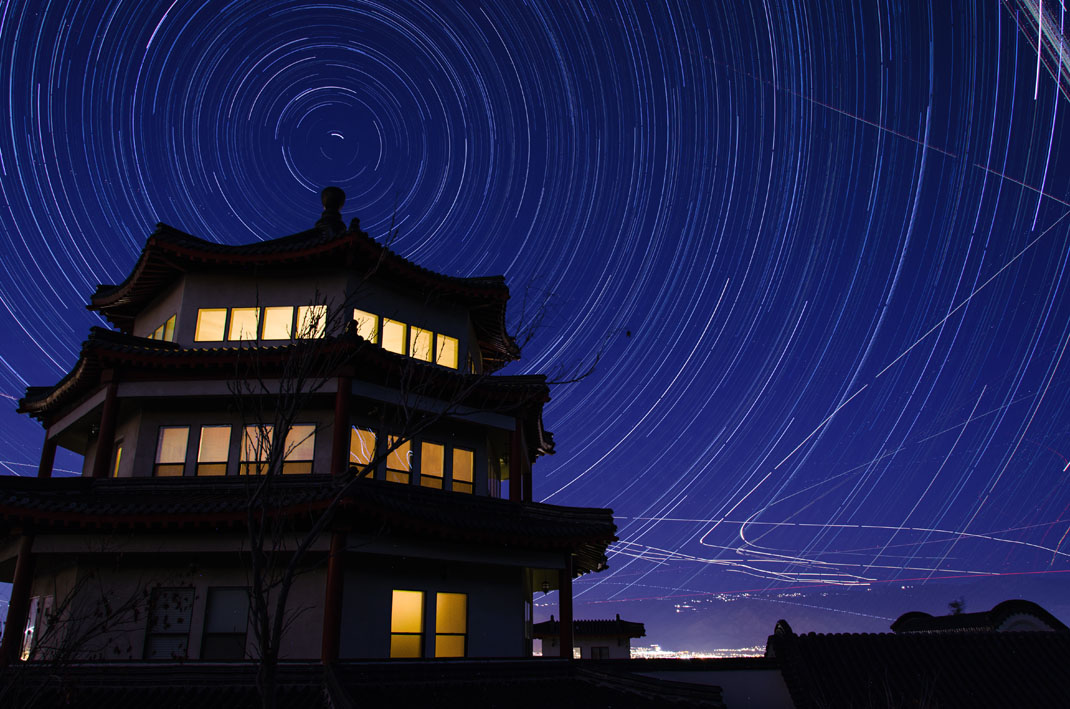
For this Christmas Eve, I thought it would be interesting to post star trails taken from Loma Linda. Surprisingly, there were many more visible stars over lighted San Bernardino. Flight paths from air traffic in and out of nearby airports add some interest. This picture was captured last night from the south slopes, with settings…
-
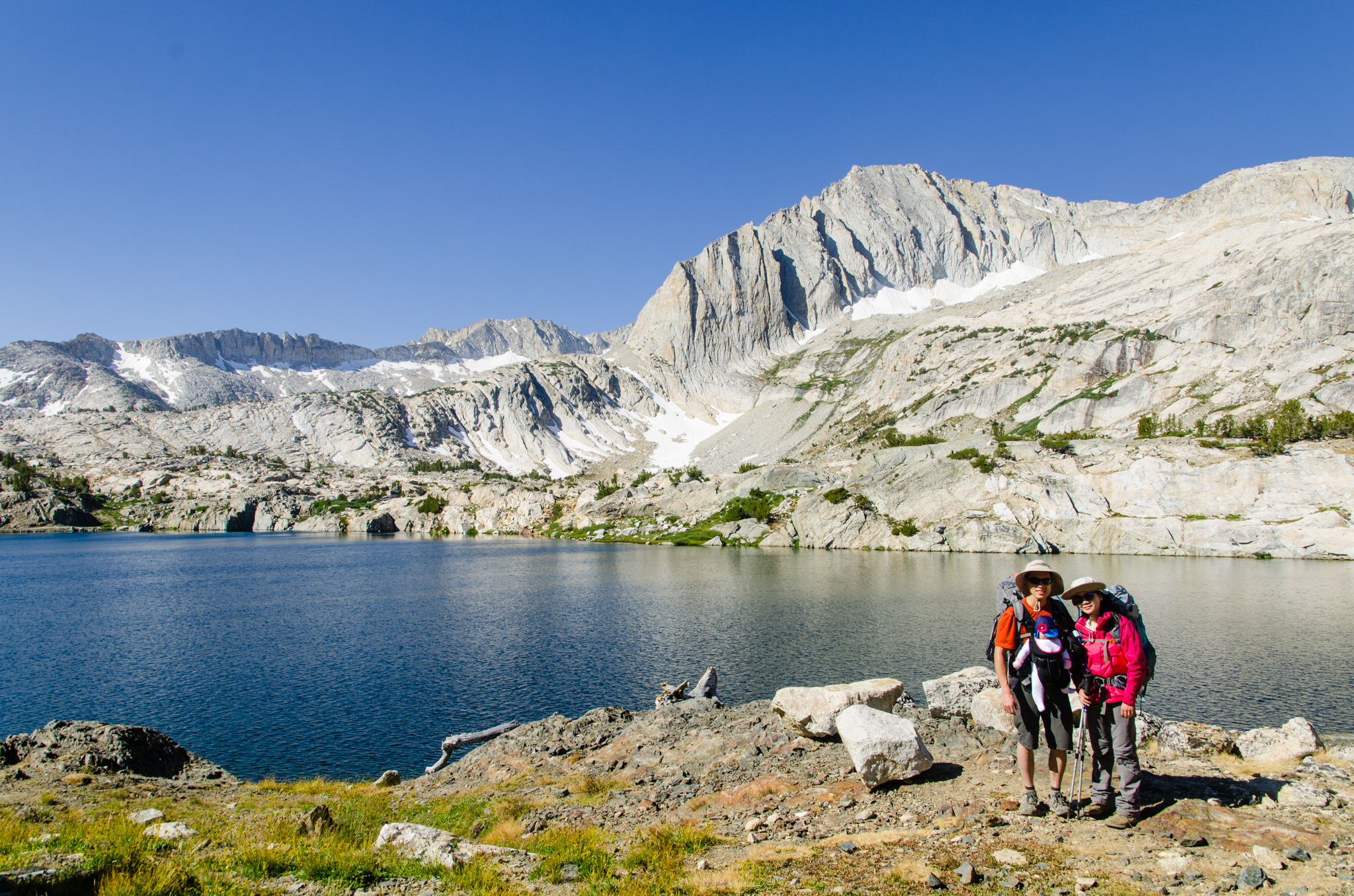
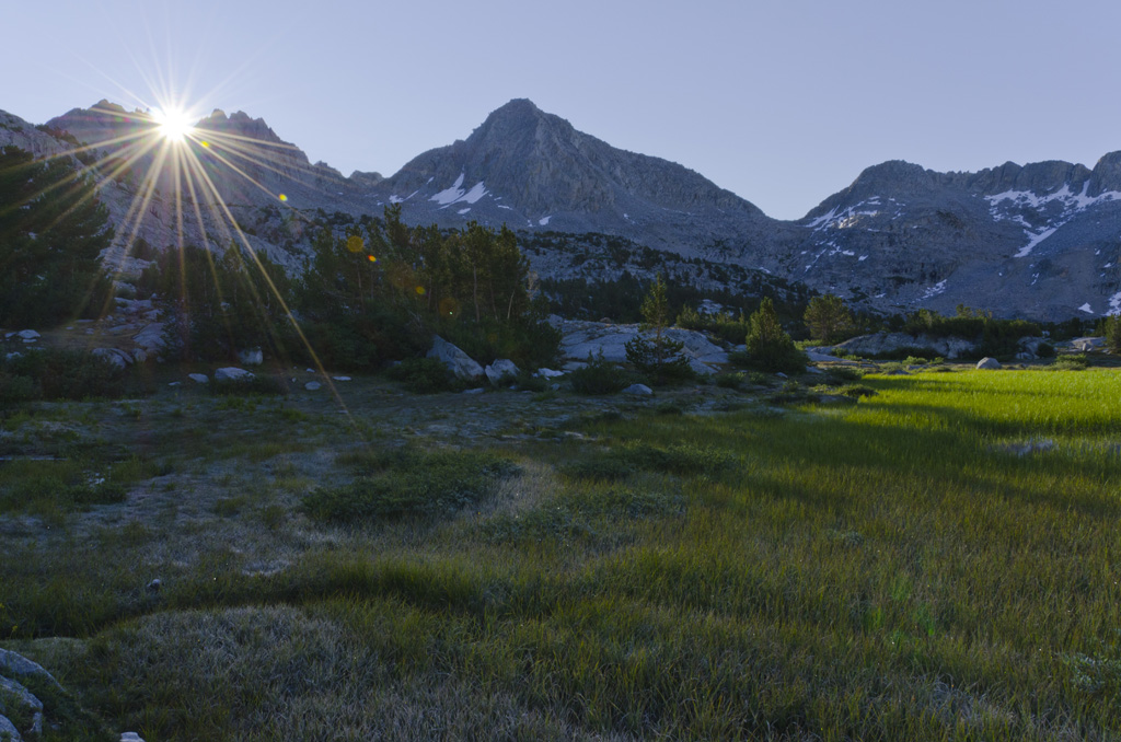
Mono Basin and Little Lakes Valley

The gentle drizzle continues for the whole night, and by the next morning, everything outside the tent is completely soaked. We organize all of the food according to the grid, and then we pack up and set out toward Mono Pass. Cloud cover cools our climb above treeline. Right at the Pass, we stop for…
-
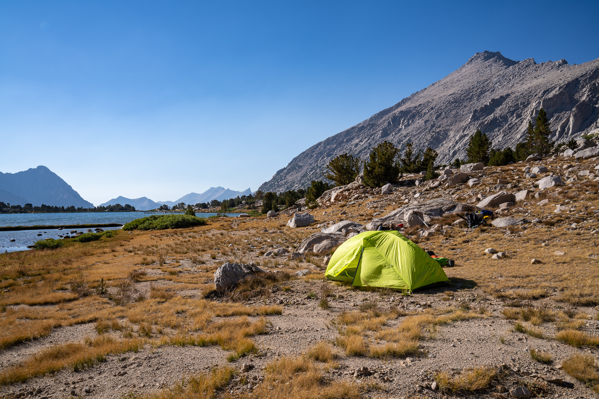
South Lake to North Lake: Day 3
September 2 This day would be the longest. I wake up to a beautiful morning. The air is crisp, the mosquitoes are gone, and my tent held up to the wind. I had guyed out Brad’s side of the tent to give more lateral headroom to the A-frame profile, and he says that it’s better.…
-
South Lake to North Lake: Day 2
September 1 A dusting of frost covers nearly everything. I first notice this on the backpacks just outside the tent. My towel is frozen stiff. There is bad condensation inside the tent because it’s so cold outside. The cure, of course, is a nice helping of hot coffee. Starbucks Via. Being in charge of the…