Tag: Limber Pine Springs

  • San Bernardino Peak

    San Bernardino Peak

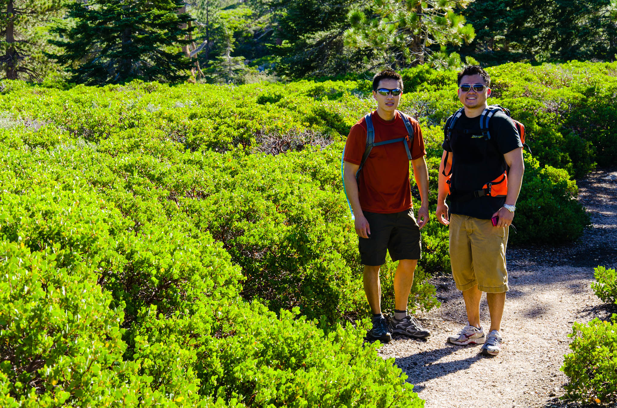
    It started from a Facebook invitation, where I basically invited everyone who I thought would be interested in going.

    We all met in the Allen Way cul-de-sac just before 6:00 this morning and drove to the parking lot. There were orthopaedic residents, Ben, Mark with Sarah, and Lucas; medical students, Chris, Andrew, Charlie, Bjorn, and Matt; and an engineer, Mike.

    The hike began at 6:50. We saw sunrise from behind the ridge line and trees, and shortly after, we ascend slopes of manzanita bushes. Ben develop a blister early in the hike. Along the way, I was worried about the water situation, but luckily, Limber Pine Springs was a decent trickle.

    At 11:40, we reached the false summit at the overlook, but by this time, fog had rolled in and we were shrouded in the clouds. Soon thereafter, we arrived at the Colonel Washington Monument and learned about the survey of Southern California. The hike to the actual summit took another half hour. We had another meal there, and a few of us took naps.

    The cloud cover and downpour refreshed all of us on the way down. I think hiking poles made a difference in preventing iliotibial band syndrome like the last time on the San Gorgonio hike.

    What a blessed day, with beautiful scenery, bright sunrise, blue sky, rolling clouds, cold rain, wholesome exercise, and great company.

  • Angelus Oaks to San Bernardino Peak

    Angelus Oaks to San Bernardino Peak

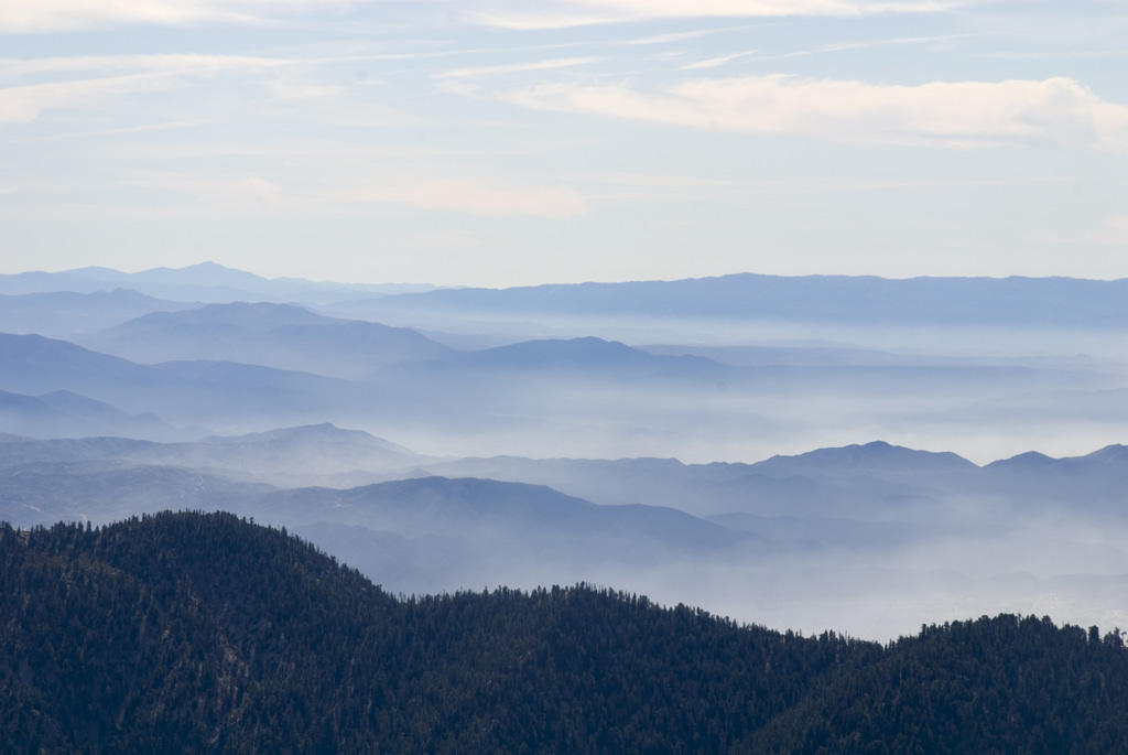
    We climbed San Bernardino Peak today.

    The hike started from Angelus Oaks. We left Loma Linda around 6:00 am, arriving at the 1W07 trailhead forty minutes later. It was cold, but I started out in shorts, a quick-dry t-shirt, and a beanie to prevent heat loss through the head. It turned out to be fine, because once we got started, I warmed up quickly.

    Originally, I had planned this trip for mid to late November, and there were around 7 to 8 people on the “interested” list. It was supposed to be an overnight trip, staying at High Meadow while enroute to San Gorgonio on a through hike to Vivian Creek. Wanting to take advantage of a little more daylight, I moved the trip to early November. Then, because I couldn’t confirm that there would be running water for backcountry camping, I decided to make it a dayhike. In the end, it was only Corey, Juliana, and me.

    Enroute, we passed Limber Pine Springs, which was nearly completely frozen. One could still hear a faint trickle below the thick ice cover. Having passed our only potential water source, we conserved for the rest of the trip.

    The view from near Colonel Washington’s monument was spectacular. Baseline Avenue was visible, extending straight due west from where we were standing. Big Bear Lake shimmered to the north, looking as if it would just spill right over the low ridge right in front if it. The actual summit stood just a little ahead. The almost 7.5-mile hike up about 4500 vertical feet took us 4.5 hours, including breaks. At the top, we had lunch, napped, and read from Psalm 104.

    The hike down took 3 hours. It was downhill all the way. Corey ran out of water halfway down, and I finished off my water a little before reaching our car. Back at the car, we tanked off.

    The way home was uneventful. From Nevada Street, we glimpsed San Bernardino Peak behind the haze and tinted pink by the setting sun. Another beautiful Sabbath just drew to a close.