Tag: hiking index
-
Vivian Creek to San Gorgonio Peak

Last Sunday, a group of us took an ambitious trip up San Gorgonio. The group I took consisted of Hasan (4th year orthopaedic surgery resident), Ken (senior medical student), DJ and Rob (juniors), Mark and Seth (sophomores), and Brandon (whom I ran into at the Drayson Center several days before). We left Loma Linda at…
-
South Fork Trailhead
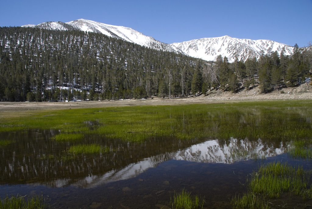
At church two days ago, we were casually discussing hiking San Gorgonio. That random conversation materialized into an actual trip today. We met up at 5:30 and drove together to the South Fork Trailhead. We decided to try a different route, since many of us had already done the Vivian Creek starting point. Just past…
-
San Gorgonio Summit
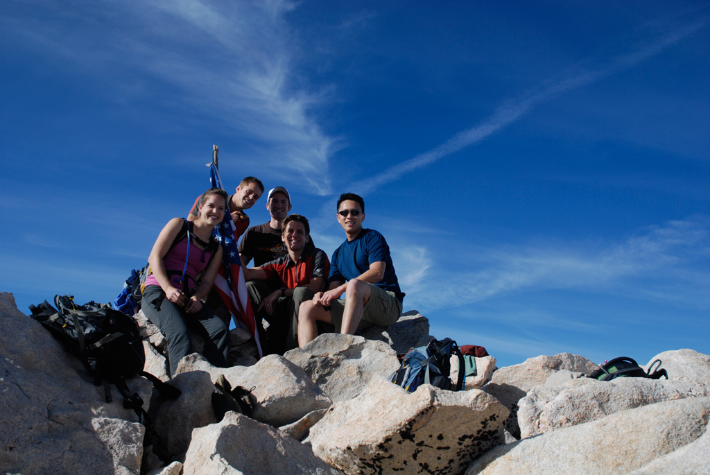
This hike up San Gorgonio started early in the morning. Along were Rob, Seth, Corey, Juliana, as well as a desert bighorn sheep seen near the summit.
-
North Carolina and Tennessee
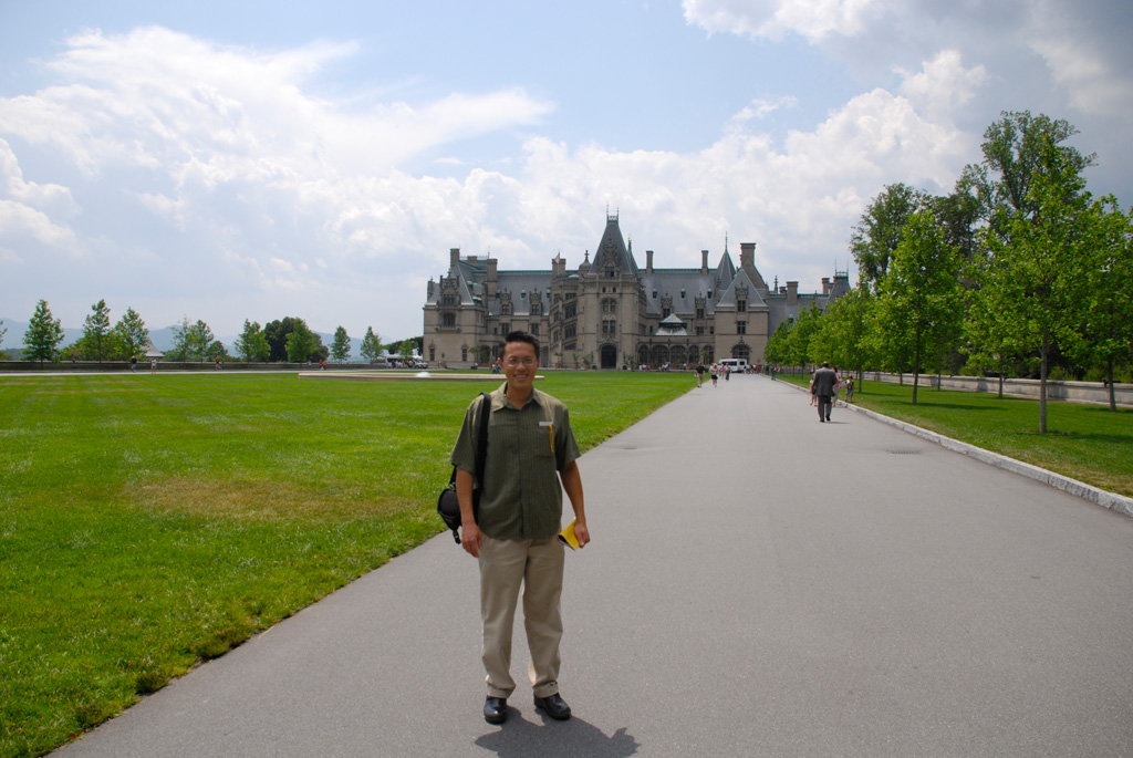
The American Orthopaedic Association meeting takes place in Asheville. Between meetings, the Jobes and I visit the Biltmore estate grounds. Over the weekend, I hike about forty miles within Great Smoky Mountains National Park. I first hike out to Charlie’s Bunion along the Appalachian Trail. One major day hike takes me along Palmer Creek Trail…
-
Greenstone-Caples Track
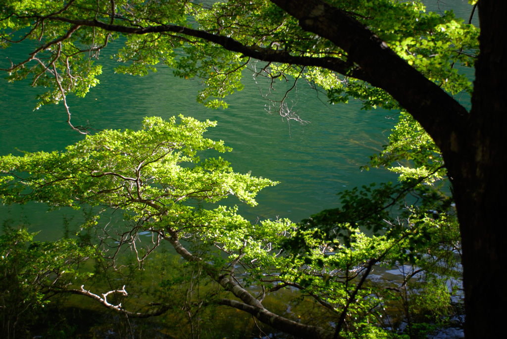
The Kinloch Lodge receptionist suggested that we hike the Greenstone-Caples Track. The Lake Rere Loop was very accessible. We left at 16:30, and the route along waterfalls and lake took about four hours. At the road, during our return, we encountered sheep being herded in for the night. That was comical.
-
First Time Hiking San Gorgonio
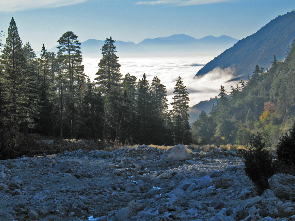
The hike today was spectacular—above the clouds! It was harder than I thought. I’m exhausted. Even though I’ve done so much hiking in California, this was my first time up this local landmark.