Tag: John Muir Trail
-
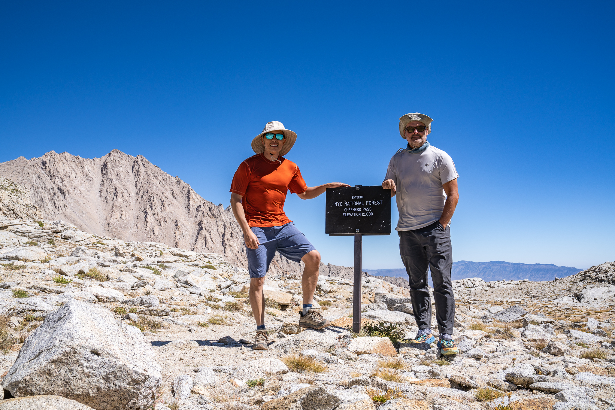
Shepherd Pass
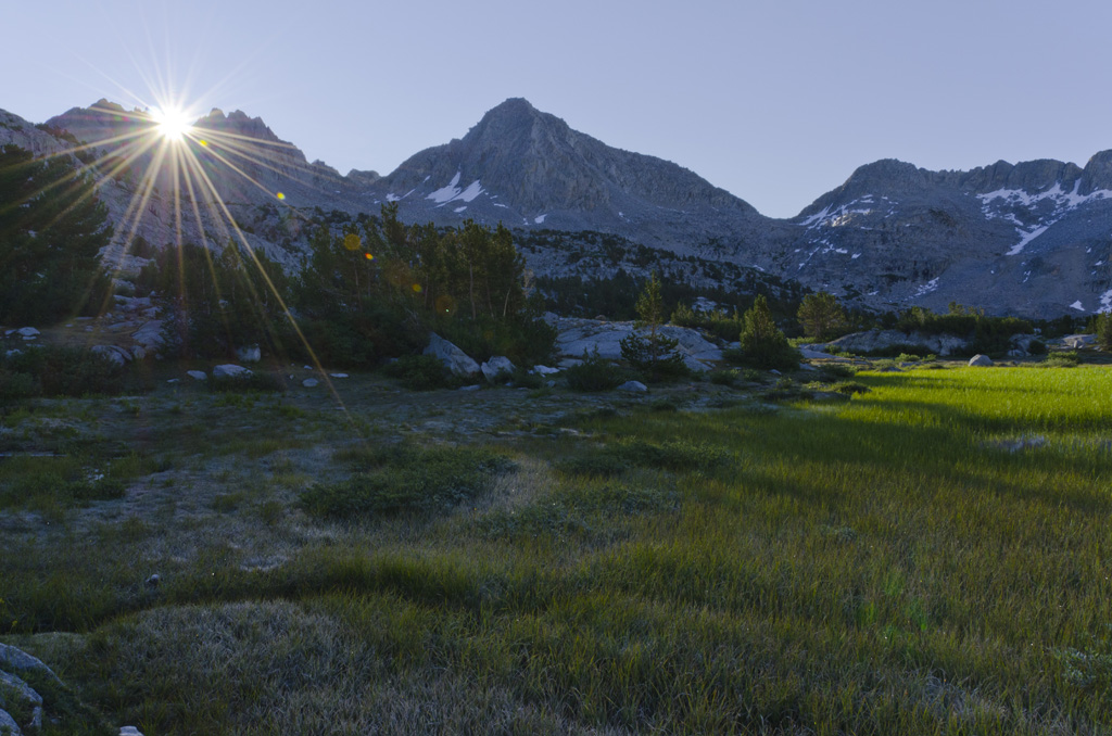
“The sun is up,” Brad’s voice jolts me. I leap out of my sleeping bag, jump out of the tent, grab my wide-angle lens, and crank down the aperture. I race along the shores of Lake 11,400’, chasing the border where light meets shadow, trying to capture perfect sun stars. As I reach the southern…
-
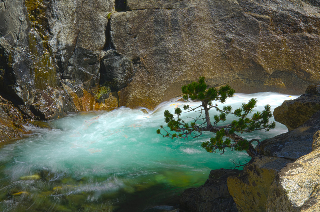
Forester Pass
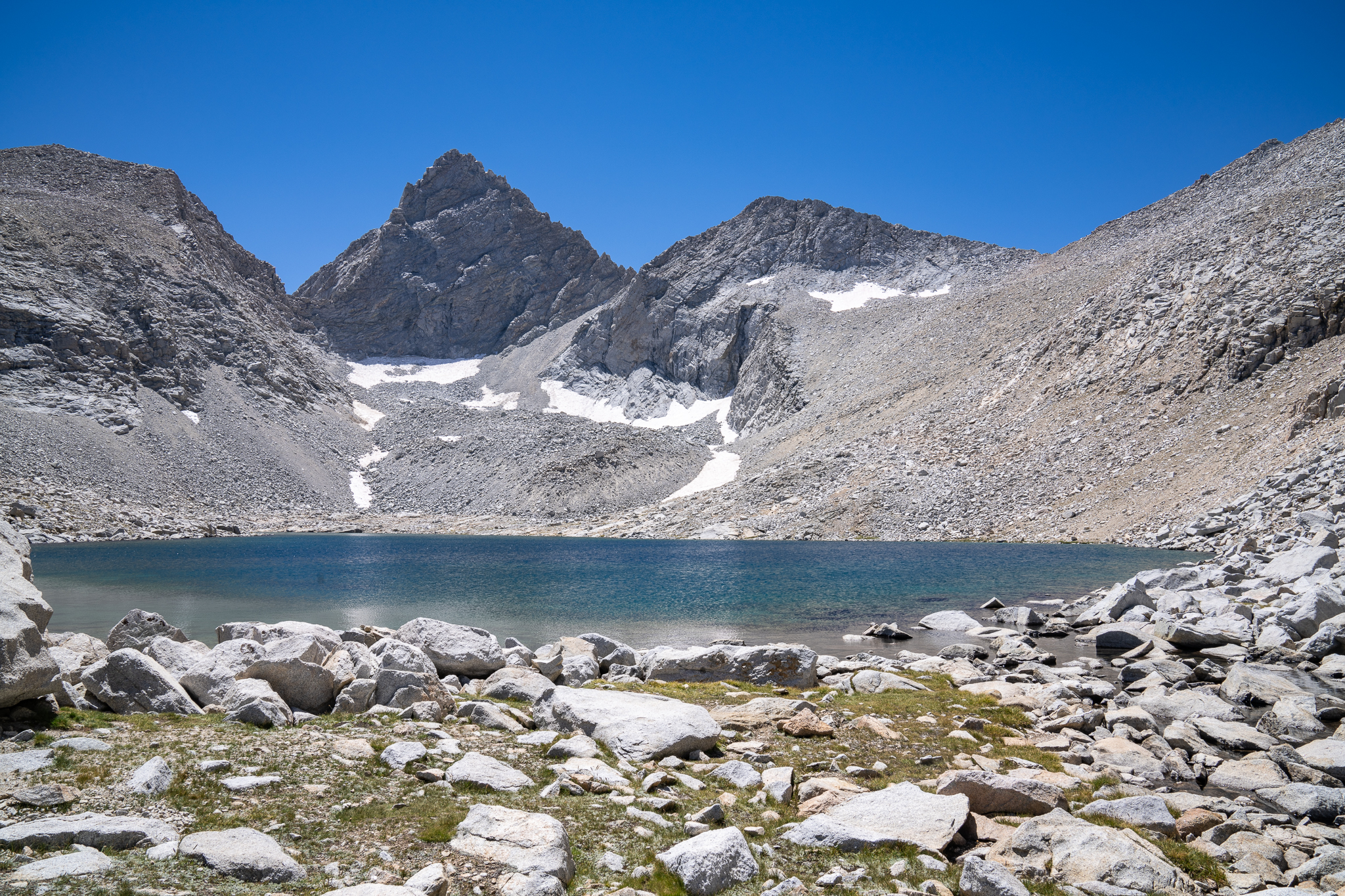
Breakfast is the same, yet somehow it gets better each morning—hearty oatmeal mixed with honey, pour-over coffee, and scones that hit the spot. Sunbeams dance on the stream like shards of glass, casting shades of amber, emerald, and turquoise. The inlet at Golden Bear Lake flows stronger today, a subtle shift from yesterday’s calm. We…
-
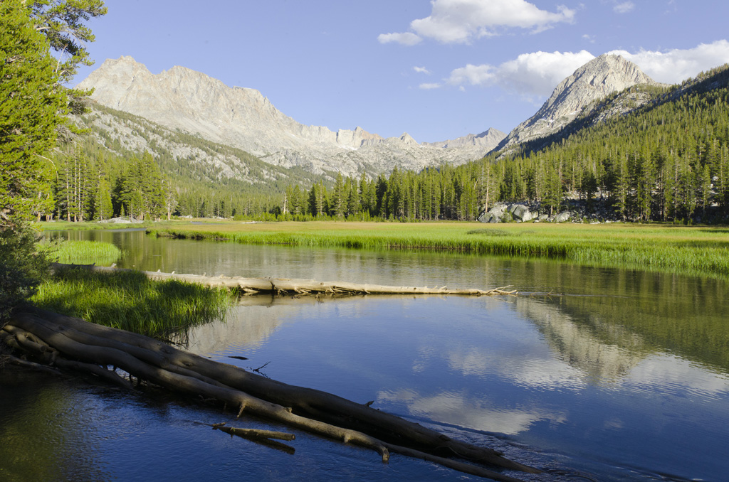
Center Basin
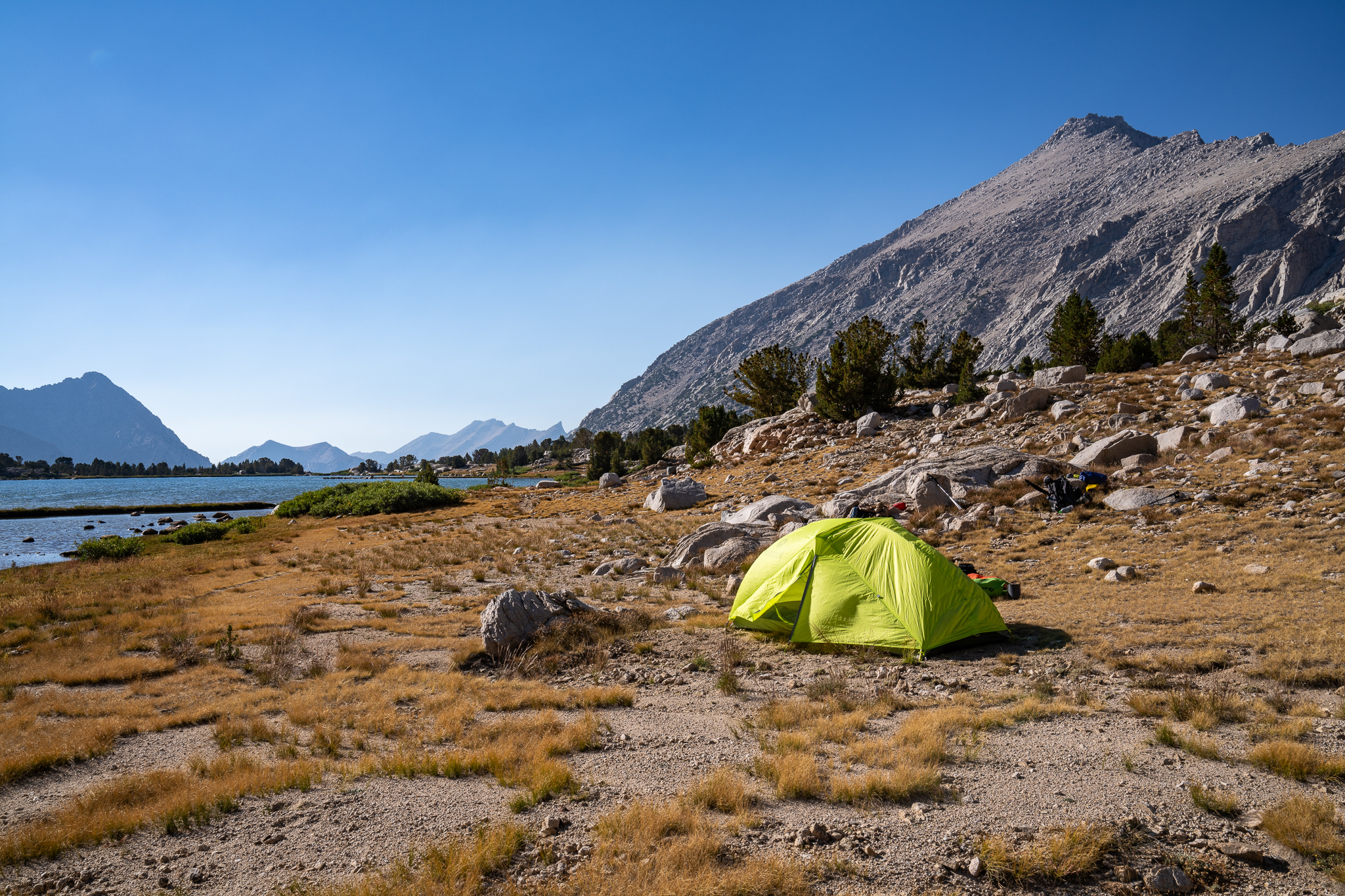
The lake is still, like a mirror in the morning light. Around dawn, I poke around with my macro lens to find suitable subjects, looking for details that often go unnoticed. Then, we have a simple but satisfying breakfast: oatmeal with honey , scones with pour-over coffee. I had made the contraption to hold the…
-
High Sierra Trail: Day 6
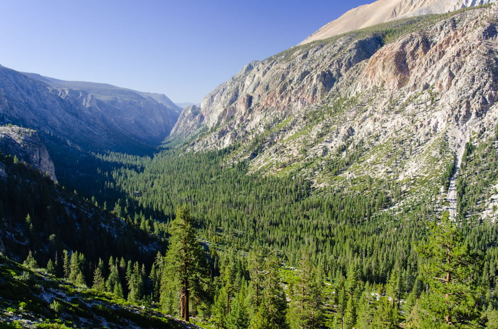
Like the other mornings, the routine is pretty much the same—hot breakfast, clean up, pack, and head out. We quickly gain elevation on this climb out of the Upper Kern Canyon. Before long, we are looking back down the canyon that is open to the clear blue sky. Then, we join Wallace Creek and hike…
-
South Lake to North Lake: Day 4
September 3 We both slept very well. The night felt warmer, and we had very little tent condensation. Brad checks his thermometer, which reads 30 degrees Fahrenheit. It feels warmer. Anyways, I go on a private walk back along the creek, taking pictures along the way. I find an interesting tree whose bark had split…
-
South Lake to North Lake: Day 3
September 2 This day would be the longest. I wake up to a beautiful morning. The air is crisp, the mosquitoes are gone, and my tent held up to the wind. I had guyed out Brad’s side of the tent to give more lateral headroom to the A-frame profile, and he says that it’s better.…
-
South Lake to North Lake: Day 2
September 1 A dusting of frost covers nearly everything. I first notice this on the backpacks just outside the tent. My towel is frozen stiff. There is bad condensation inside the tent because it’s so cold outside. The cure, of course, is a nice helping of hot coffee. Starbucks Via. Being in charge of the…